
 Call Us or Whatsapp 9779808220612
 Email Us [email protected]
- English [EN]
- Espanol [ESP]
- France [FR]
- Deutsch [DE]
- China [CN]
- Japan [JP]
- Arabic [AR]
- Hindi [HI]

Nar Phu Valley and Kang La Pass Trek with Chulu Far East Peak Climbing
 Duration: 17 Days
 Difficulty: Strenuous
 Accomodation: Hotel, Teahouse and Tented Camp
 Meal: B-L-D
 Max. Altitude: 6,059m
 Best Seasons: Spring (March-April-May) & Autumn (Sep-Oct-Nov)
Nar Phu Valley and Kang La Pass Trek with Chulu Far East Peak Climbing
This 17 day Nar Phu Valley, Kang La Pass and Chulu Far East Peak Trek takes you deep into one of the most remote and culturally distinctive corners of the Annapurna region before continuing into high alpine terrain for an ascent of Chulu Far East at approximately 6,059 m.
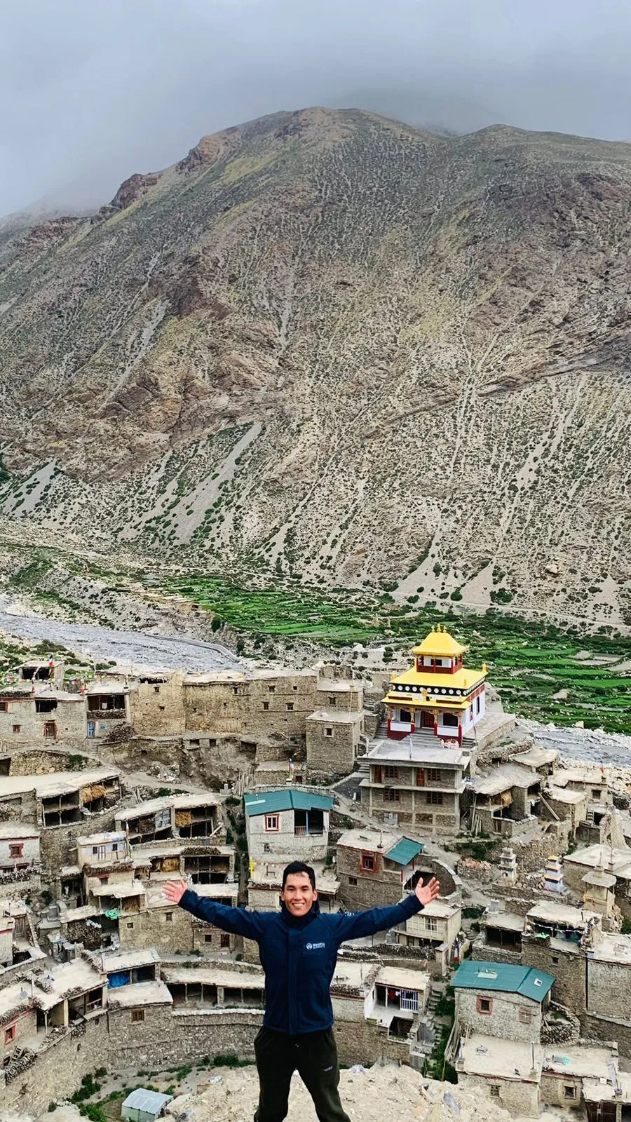
The journey begins in the lower Marsyangdi Valley and gradually enters the restricted Nar Phu region, where traditional stone villages, Buddhist monasteries, ancient chortens and mani walls remain part of everyday life. Phu and Nar are the cultural highlights of the route, while the surrounding landscape changes from forested river valleys to dry cliffs, alpine meadows and high mountain slopes.
The trek becomes increasingly demanding as you gain altitude. After spending time acclimatizing around Phu and exploring the remote settlements of the valley, the trail continues toward Nar before reaching Kang La Pass at approximately 5,320 m.

The crossing is one of the defining moments of the trek, with a demanding ascent followed by a long descent toward Ngawal. From here, the journey changes character again as you leave the village trails behind and move toward the Chulu Far East climbing area. Base Camp and High Camp provide the final stages of preparation before the summit attempt.
From the high camps, the climb toward Chulu Far East enters a more serious alpine environment where snow, ice, cold temperatures and changing mountain conditions can play a major role. The summit attempt is the ultimate objective of the journey, but the experience is about more than reaching the top.

The route combines the isolation of Nar Phu, the cultural character of its high Himalayan communities, the challenge of a 5,000 metre pass and the technical demands of climbing a peak above 6,000 metres. Summit success always depends on weather, route conditions, acclimatization and the judgment of the climbing team.
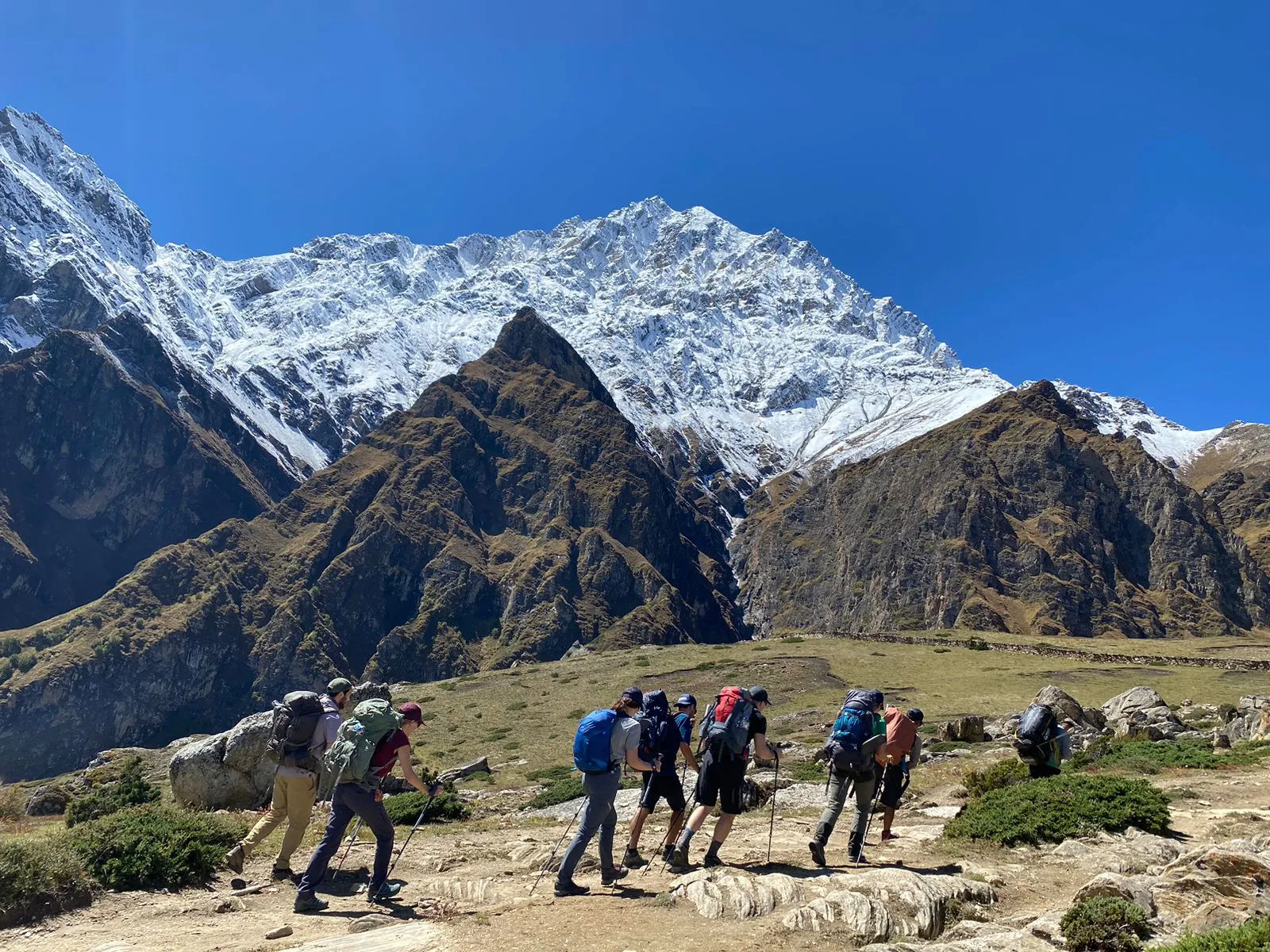
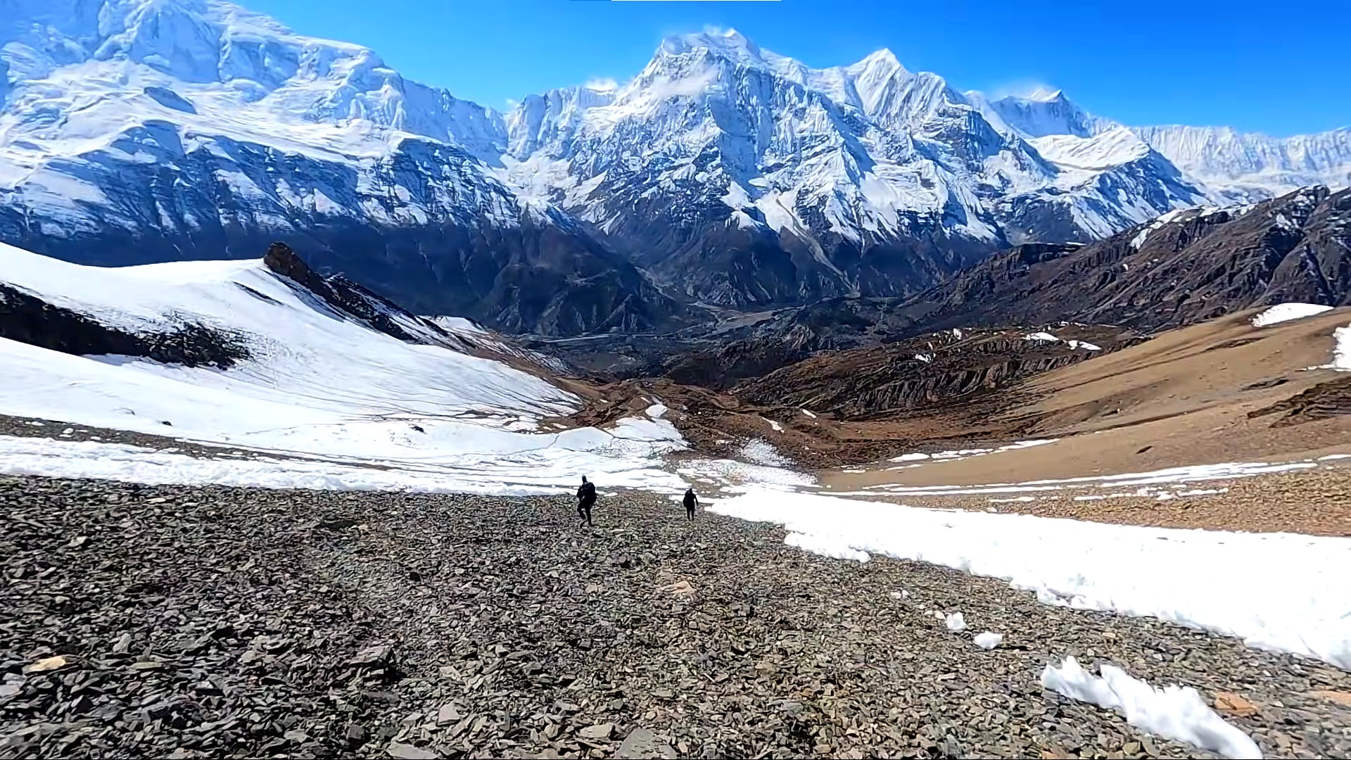
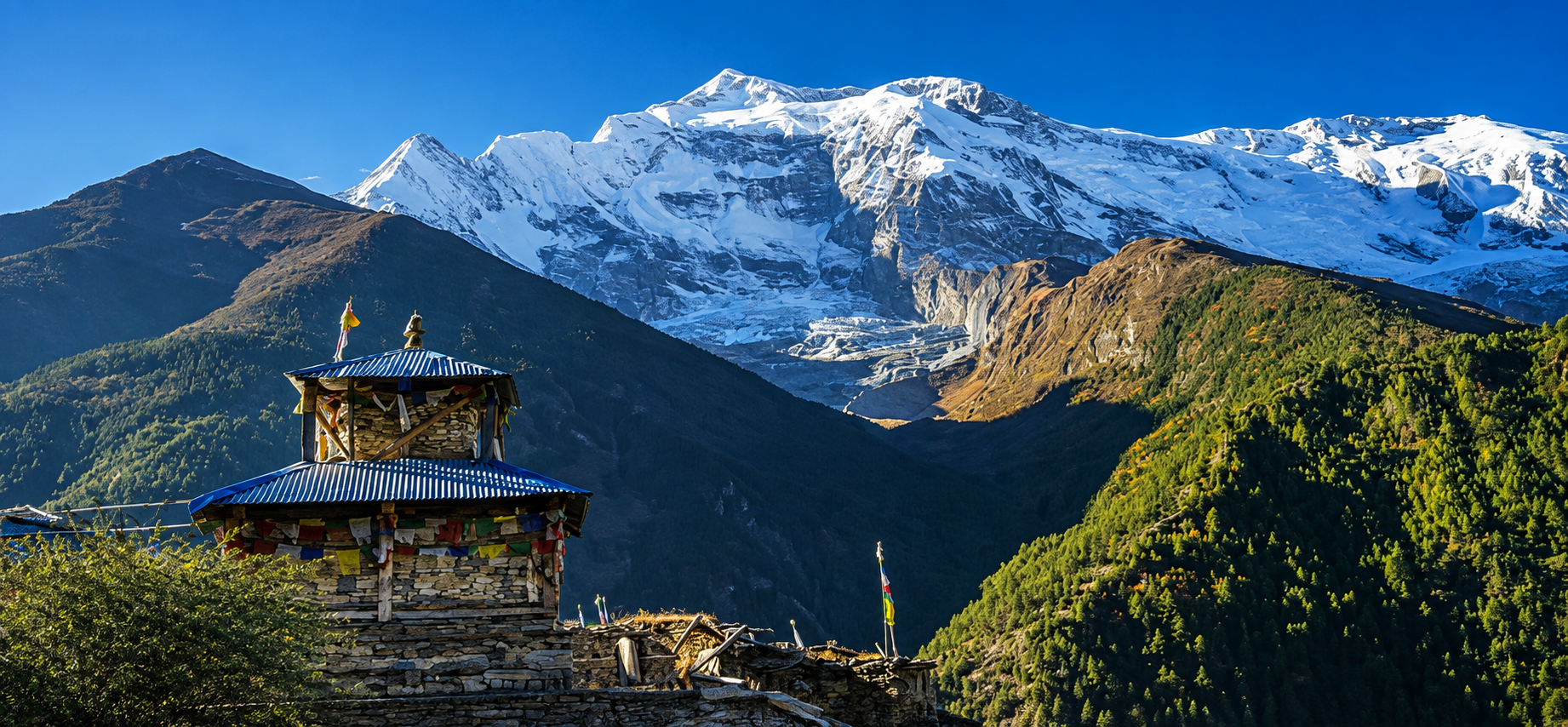
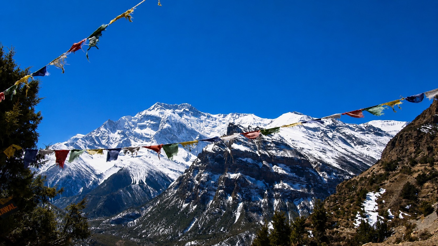
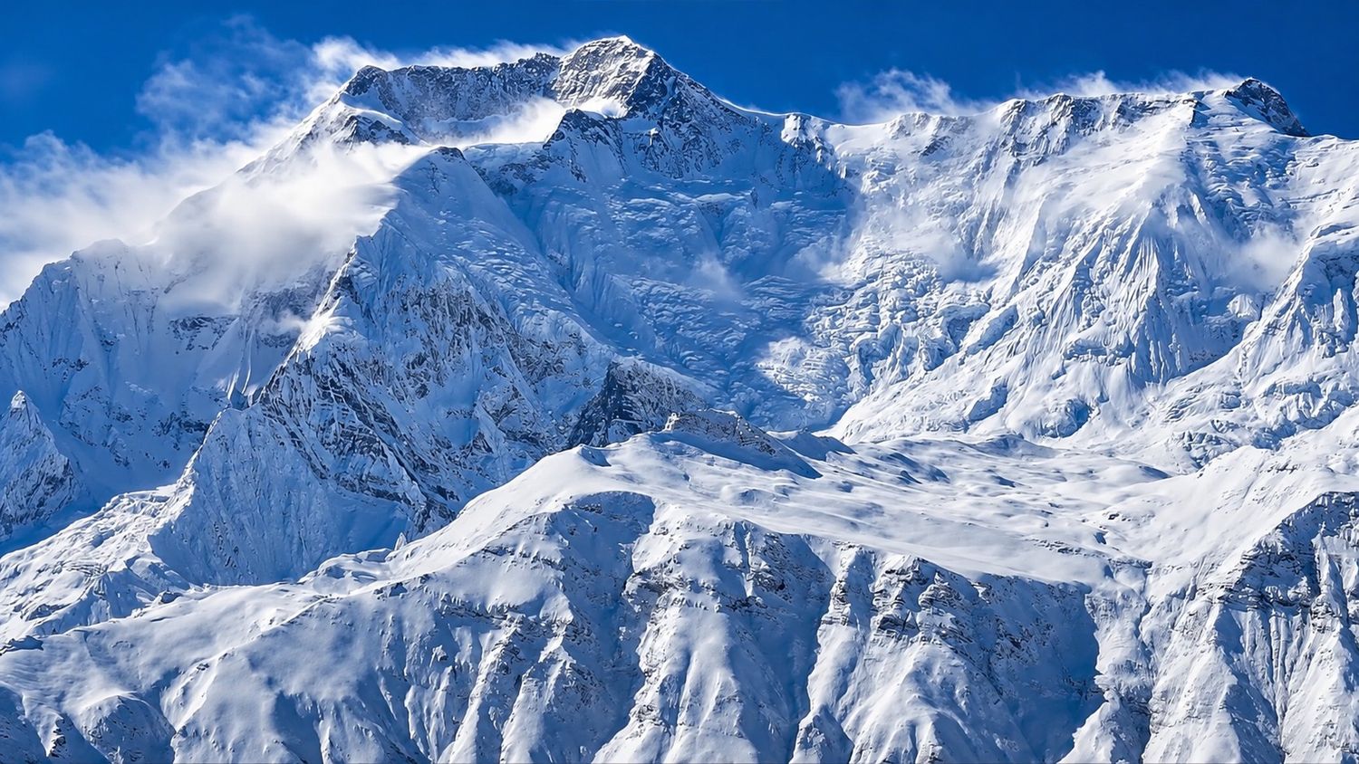
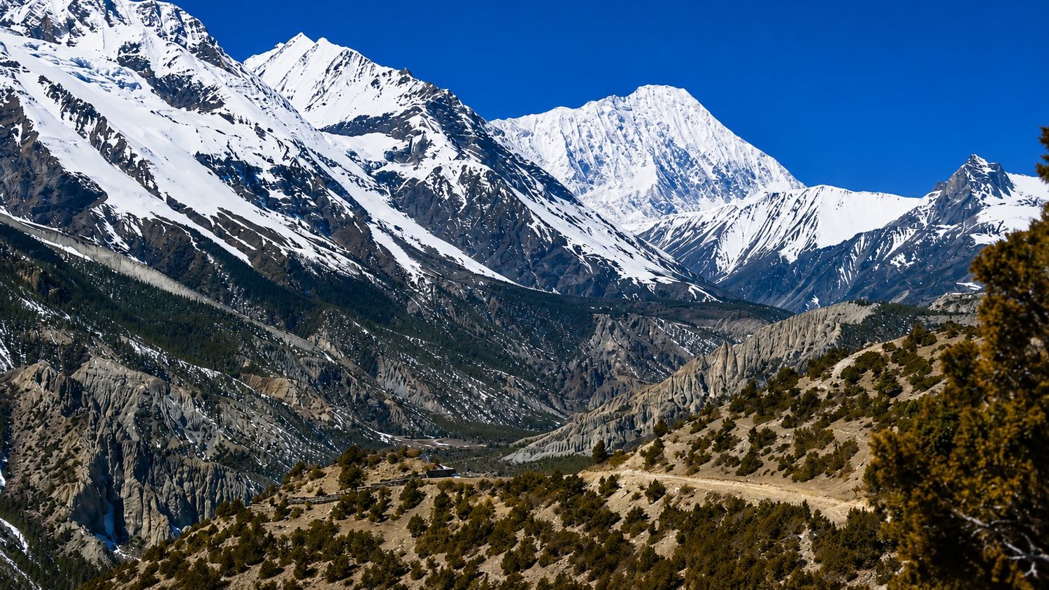
Throughout the trek, the scenery remains remarkably varied. The Nar Phu Valley opens toward a dramatic collection of Himalayan peaks, while the higher sections provide views across the Annapurna and Manaslu mountain landscapes.
Annapurna II at 7,937 m, Gangapurna at 7,455 m and Tilicho Peak at approximately 7,134 m are among the major peaks associated with this part of the Himalaya, while Himlung Himal rises to approximately 7,126 m, not 4,900 m as stated in the previous version.

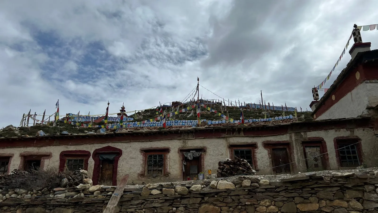
One of the most rewarding aspects of the trek is the contrast between the physical environment and the communities that have adapted to it. The villages of Phu and Nar retain a strong Tibetan cultural influence, with stone houses, Buddhist shrines, prayer flags, monasteries and traditional agricultural practices reflecting centuries of life in the high valley.
The route offers a chance to experience these settlements at a slower pace before moving into the increasingly isolated terrain above the villages.
The itinerary is designed as a progression rather than a collection of separate destinations. The early days allow you to reach the Nar Phu Valley gradually, the acclimatization periods give your body time to adapt to increasing elevation, Kang La provides the major high pass crossing, and the following days prepare you for the Chulu Far East climb.
Highlights of the trek
- Explore the restricted Nar Phu Valley, one of the most remote trekking areas in the Annapurna region.
- Walk through the traditional stone villages of Phu and Nar and experience their Tibetan influenced Buddhist culture.
- Enter the Nar Phu Valley from Koto, leaving the more established Annapurna Circuit behind.
- Cross dramatic gorges, suspension bridges, alpine pastures and high mountain terrain.
- Spend an acclimatization day in Phu Gaon with time to explore the village and surrounding viewpoints.
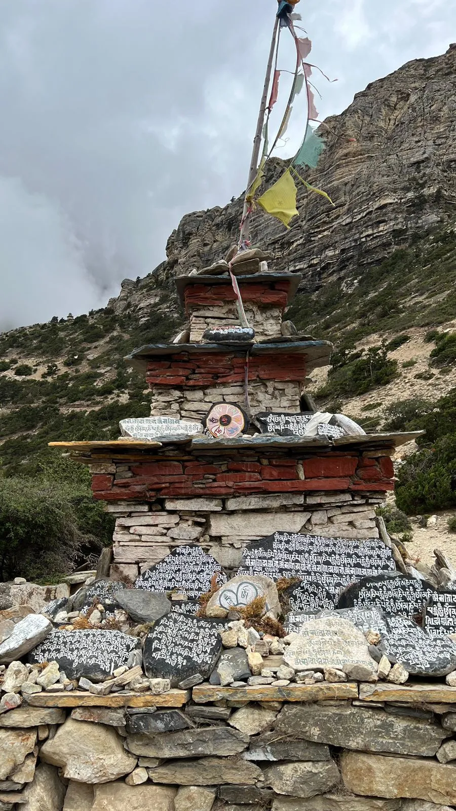
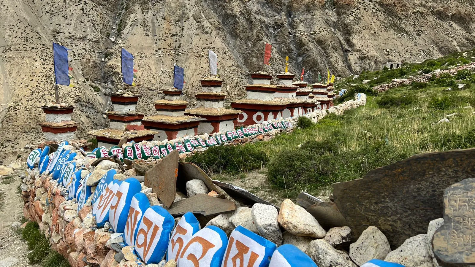
- Experience the distinct architecture, monasteries, mani walls and prayer flags of the high Himalayan settlements.
- Cross Kang La Pass at 5,320 m, one of the defining high altitude crossings of the trek.
- Enjoy expansive views toward Annapurna II, Gangapurna, Tilicho Peak, Himlung Himal and the Chulu range.
- Continue from the Nar Phu route toward the climbing area of Chulu Far East.
- Spend time at Chulu Far East Base Camp preparing for the mountain ascent.
- Receive practical climbing instruction and review essential equipment before the summit attempt.
- Climb toward High Camp at approximately 5,334 m before the summit push.
- Attempt the 6,059 m summit of Chulu Far East under the guidance of an experienced climbing team.
- Descend from the high mountain environment back toward Ngawal, with the landscape changing from alpine terrain to more established Himalayan villages.
- Combine a remote restricted area trek, a major Himalayan pass and a 6,000 m peak climb in one compact itinerary.
Detailed Itinerary - Nar Phu Valley and Kang La Pass Trek with Chulu Far East Peak Climbing (17 Days)
Upon arrival at Tribhuvan International Airport, you will be welcomed by the Top Trail Nepal team and transferred to your hotel in Kathmandu. The rest of the day is kept relatively easy so you can recover from the journey and prepare for the trek. Depending on your arrival time, you can walk around Thamel or complete any last minute shopping for personal trekking items.
In the evening, your guide will conduct a trek briefing covering the route, altitude, accommodation, meals, safety procedures and the Chulu Far East climbing section. Your climbing equipment will also be checked so that anything missing can be arranged before leaving Kathmandu.
The journey to the mountains begins early with a drive toward Koto in the Manang region. The road initially follows the main highway toward Besisahar before continuing through the Marsyangdi Valley on a rougher mountain road.
As the landscape changes from developed valleys and terraced hillsides to steep river gorges and mountain settlements, the journey becomes part of the adventure itself. Koto is the gateway to the Nar Phu Valley, and from here the trail leaves the main Annapurna Circuit route.
Today marks the real beginning of the remote trekking section. From Koto, the trail follows the Nar Phu Khola through a dramatic gorge, crossing forests and rugged mountain terrain as it gradually climbs away from the Marsyangdi Valley.
The trail becomes increasingly isolated as you move deeper into the restricted region. Pine and juniper vegetation gradually gives way to drier landscapes, exposed cliffs and high mountain scenery. Meta sits on a hillside above the valley and provides the first real taste of the elevation and remoteness that define the days ahead.
The trail continues through increasingly dramatic terrain toward Phu. You will cross several streams and follow the valley deeper into the highlands, with rocky cliffs and open mountain slopes replacing much of the forest.
Near the junction toward Nar and Phu, the route turns toward Phu Valley. The final approach leads through a narrow gorge before opening into the remarkable landscape surrounding Phu Gaon.
Phu Gaon is a secret medieval town with stone homes, a Tashi Lhakhang Gompa from the fifteenth century, and breathtaking views of the Himlung Himal (7,126m).
You’ll spend a day touring Phu Gaon to get used to the altitude. A quick trek to higher vantage points (4,500m+) provides expansive views of the valley and neighboring peaks. You can go to the historic monastery, talk to people of Tibetan heritage, and see how they live. Some hikers investigate the remnants of ancient forts (dzongs) or go on an optional excursion to the adjacent glaciers. The day aids in your body’s preparation for the strenuous journey to Nar.
The trail descends from Phu toward the junction and then turns into the Nar Valley. After several days above 4,000 m, the lower overnight elevation at Nar Phedi gives the body a useful break before the next altitude gain.
The landscape remains dry and rugged, with views of high cliffs, open slopes and grazing areas used by local herders. Nar Phedi is a small settlement beside the trail and is much simpler than Phu or Nar, making tonight an important part of the remote mountain experience.
The trail climbs steadily from Nar Phedi toward Nar Village. Although the distance is comparatively short, the increase in altitude makes the walk more demanding than the mileage suggests.
As you approach Nar, traditional stone houses begin to appear across the high valley. Prayer flags, mani walls and Buddhist monuments reflect the strong cultural character of the settlement. With the afternoon available after arrival, you can explore the village and rest before the demanding Kang La crossing.
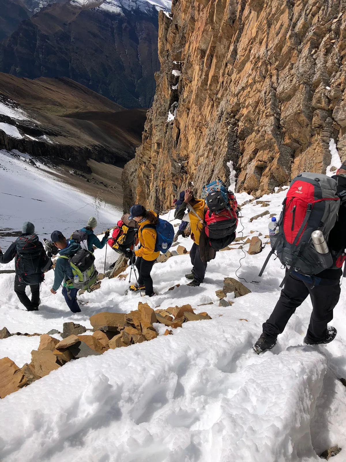
This is one of the hardest days of the journey. You will leave Nar early and gradually climb toward Kang La Pass, following a high mountain trail where conditions can vary depending on snow, wind and the season.
The final ascent to Kang La at 5,320 m is physically demanding, but the effort is rewarded with sweeping Himalayan views. From the high pass, we can see the entire Annapurna range, the Himlung Himal, and even Manang’s Humde Airport.
A packed lunch is normally carried for this crossing because there are no regular meal stops around the pass.
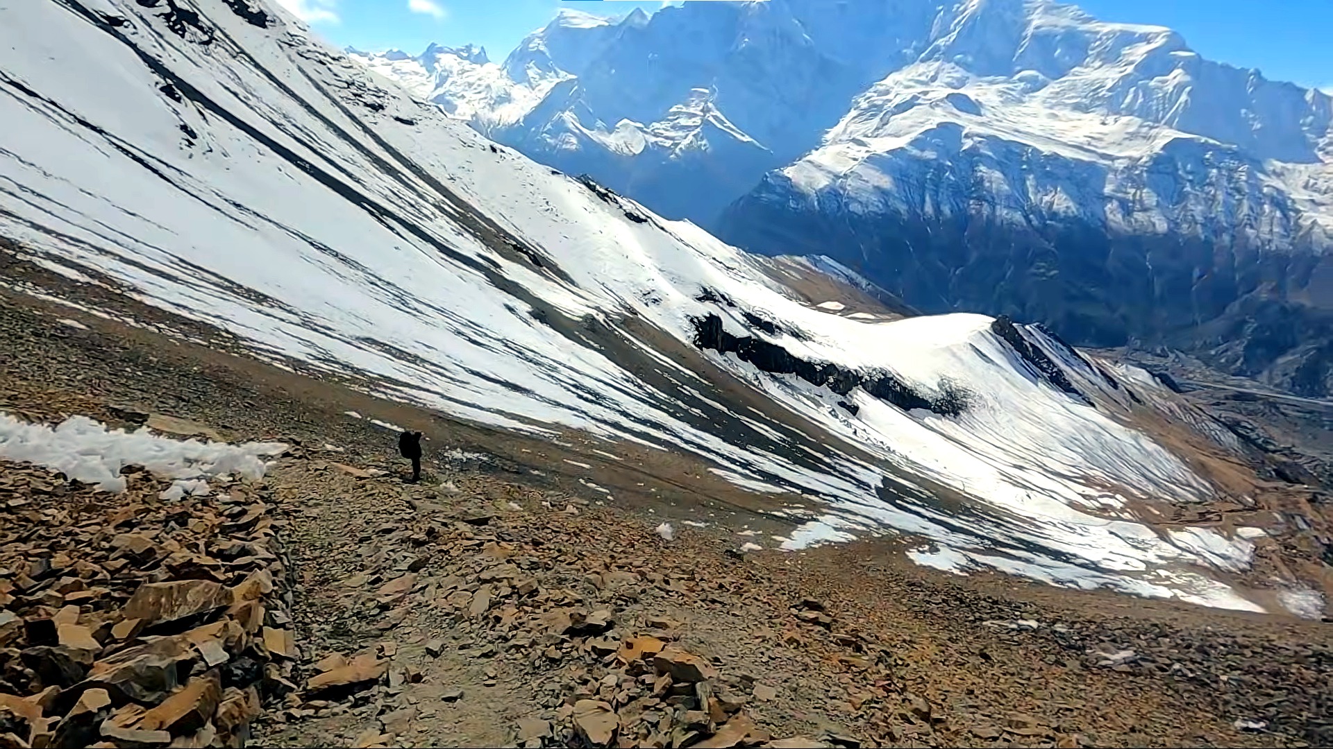
After spending some time at the pass, you begin the long descent toward Ngawal. which will take a couple of hours. The change in landscape is striking as you leave the remote Nar Valley behind and enter the upper Annapurna region.
Ngawal offers excellent mountain views and a more comfortable environment in which to recover after Kang La. A controlled acclimatization walk can take the group to a higher elevation before returning to the village for the night.
This day also marks the transition from trekking to climbing. The team can review personal climbing equipment, discuss the upcoming ascent and make final checks before moving into the higher camps.
After breakfast, the route leaves the village behind and gradually moves into the higher terrain toward Chulu Far East. The trail becomes increasingly alpine as trees become sparse and the landscape opens toward rocky slopes, high ridges and glacial terrain.
The climb is steady rather than technical at this stage, but the altitude makes every section more demanding. Your climbing team will establish camp at Chulu Far East Base Camp, where the focus shifts fully toward the summit objective.
The remainder of the day is used for rest, equipment checks and preparation for the higher camp.
Today you climb higher toward the Chulu Far East High Camp. The trail becomes steeper and more exposed as you enter the true high mountain environment.
At High Camp, the climbing team will prepare for the summit attempt, checking ropes, crampons, harnesses, ice axe systems and other equipment as appropriate to the route and current conditions. The rest of the afternoon should be spent conserving energy and preparing mentally and physically for the early morning summit push.
This is the main climbing day of the expedition. The team starts very early, usually well before sunrise, to take advantage of colder and generally more stable morning conditions.
Walking across glaciers, you will reach the top of Chulu Far East by following the northeast ridge. Halfway to the summit, take in the morning panorama. You will reach the base of the summit ridge after a few more hours of steady hiking.
The ascent follows the established climbing route under the direction of your climbing guide. Depending on the season and current mountain conditions, sections may involve snow and glacier travel, crampon use, fixed rope systems and other standard mountaineering techniques.
The climb to the summit is difficult and steep from here. As you get closer to the Summit of Chulu Far East, the vistas continue to improve.
From the summit, you may enjoy a breathtaking view of three of the eight thousand-meter peaks from the top, along with numerous other notable Himalayan peaks, including Annapurna (8,091 m), Dhaulagiri (8,167 m), and Manaslu (8,163 m). After a while, make the hard descent via High Camp back to Base Camp.
After reaching the summit of Chulu Far East at approximately 6,059 m, the team begins the descent back toward High Camp and then Base Camp. The descent requires just as much attention as the ascent, especially after a long day at altitude.
This day is deliberately kept flexible because mountain weather cannot be controlled. If the summit attempt on Day 12 is unsuccessful because of strong winds, poor visibility, snowfall or other unsafe conditions, this day provides another opportunity to attempt the summit.
When the summit has already been completed successfully, the day can be used for additional rest or an earlier descent according to the condition of the group and the climbing team’s assessment.
Keeping this reserve day is much more professional than pretending that a 6,000 m peak can operate on a perfectly fixed schedule.
Once the climbing section is complete, the route descends from the high mountain environment toward Ngawal.
After an early breakfast at Base Camp, you begin your descent toward Ngawal, a charming village perched high above the main Annapurna trail. The trek starts with a gradual descent along rocky and alpine trails, surrounded by magnificent views of Annapurna II, Gangapurna, and Tilicho Peak.
You will pass through yak pastures and small stone huts used by herders before reaching Manang Valley’s upper section. The trail to Ngawal offers a quieter, more scenic alternative route compared to the main trail through Manang.
Ngawal itself is a beautiful traditional settlement with old-style houses, a few cozy lodges, and stunning sunset views over the Annapurna range.
The lower elevation makes the day noticeably more comfortable, while the landscape gradually changes from bare alpine slopes to more familiar Himalayan vegetation and settlements. Reaching Ngawal also marks the end of the remote climbing section and the beginning of the return journey toward the road network.
After breakfast, you’ll board a local jeep for the drive down to Besishar, the administrative headquarters of Lamjung District.
The drive follows a rugged mountain road that winds through villages like Humde, Pisang, Chame, and Dharapani, tracing the Marsyangdi River downstream. You will experience a thrilling descent from alpine to subtropical landscapes.
Along the way, you will pass traditional Gurung and Manangi villages, small teahouses, and suspension bridges crossing roaring streams. The scenic ride offers a wonderful recap of the terrain you’ve trekked through earlier in the journey.
After days in the mountains, Besisahar provides a comfortable stop before the final drive to Kathmandu.
The final day follows the road along the lower Marsyangdi corridor before joining the main highway toward Kathmandu. After the long mountain journey, you arrive back in the capital with the Nar Phu Valley, Kang La Pass and Chulu Far East climb behind you.
Depending on your departure schedule, the evening can be spent relaxing in Kathmandu or enjoying a final dinner with the team.
Your 17 days trekking and climbing trip concludes today, with breathtaking experiences and unforgettable memories with the Top Trail Nepal team in the Himalayas. Our Representative will drop you to Tribhuvan International Airport depending upon your flight schedule. If time persists you may have few hours to buy souvenir or stroll around Kathmandu Durbar square for a bit.
What's Included
Airport Transfers
|
Hotel Accommodation in Kathmandu
|
Transportation
|
Meals During Trek & Climb
|
Teahouse + Camping Accommodation
|
Professional Trekking & Climbing Team
|
All Required Permits
|
Group Climbing Gear
|
Safety Support & Medical Kit
|
Taxes & Administrative Costs
|
What's Not Included
|
Nepal Visa
|
|
International Airfare
|
|
Travel & Climbing Insurance
|
|
Personal Trekking & Climbing Gear
|
|
Personal Expenses
|
|
Tips for Guides, Porters & Climbing Crew
Gratuities are always appreciated but voluntary.
|
|
Emergency Evacuation
Any helicopter rescue or medical evacuation costs (covered by insurance if you have proper coverage).
|
Departure Dates
Route Map & Gallery




Frequently Asked Questions - Nar Phu Valley and Kang La Pass Trek with Chulu Far East Peak Climbing
This is a very challenging trek and peak climbing itinerary because it combines long days at high altitude, the 5,320 m Kang La Pass and a summit attempt on Chulu Far East at approximately 6,059 m. The trekking section is demanding, while the climbing section requires additional preparation for snow, ice, steep terrain and high altitude. Good physical fitness, endurance and a willingness to follow the instructions of the trekking and climbing team are essential.
The complete Top Trail Nepal itinerary takes 17 days, including arrival in Kathmandu, the Nar Phu Valley trek, Kang La Pass crossing, Chulu Far East climbing days, the return journey and final departure from Nepal. The exact schedule can still change slightly if weather, trail conditions or mountain safety require an adjustment.
The highest point is the summit of Chulu Far East at approximately 6,059 m. This should not be confused with Chulu East, which is a separate peak listed at 6,584 m. Kang La Pass, another major high point on the itinerary, is approximately 5,320 m.
Yes. Nar Phu is a regulated restricted trekking area, and foreign trekkers must follow the applicable organized trekking requirements. The Chulu Far East section also requires qualified climbing support because of the altitude and mountain conditions. Your trekking and climbing team will manage the route, permits, safety procedures and summit planning.
Previous high altitude trekking experience is strongly recommended, but you do not necessarily need a long history of technical mountaineering. Chulu Far East is considered one of the more accessible peaks in the Chulu group, but it is still a serious 6,000 m mountain. You should be comfortable with strenuous trekking and prepared to learn and use basic mountaineering techniques such as crampon movement, ice axe handling and rope travel where required by the route.
The journey requires the relevant Nar Phu restricted area permit, Annapurna Conservation Area Permit, and the necessary permission for the Chulu Far East climbing objective. Because Nar Phu is a restricted area, the trek must be organized according to Nepal’s current permit and guiding regulations. Top Trail Nepal arranges the required permits and documentation for the organized trip.
The preferred seasons are spring and autumn, particularly March to May and September to November. These periods generally provide better trekking conditions and more suitable weather windows for the high altitude climbing section. Conditions can still change rapidly at 5,000 m and above, so the summit attempt is always dependent on the actual weather and route conditions.
Kang La Pass is one of the most demanding trekking days of the itinerary, reaching approximately 5,320 m. The ascent from Nar involves sustained climbing at altitude before reaching the pass, followed by a long descent toward the Annapurna side. Snow, strong wind and changing weather can make the crossing more difficult, so the schedule and crossing decision depend on actual mountain conditions.
You will need suitable high altitude trekking and mountaineering equipment. Personal equipment normally includes warm layered clothing, a down jacket, suitable boots, gloves, a warm sleeping bag, sunglasses, headlamp and other trekking essentials. Technical climbing equipment such as crampons, harness, helmet, ice axe and rope systems must be confirmed with Top Trail Nepal before departure so you know exactly what is supplied, rented or expected from you.
Mountain weather can make a summit attempt unsafe even during the best trekking seasons. The itinerary includes a contingency day to provide additional flexibility for the climb. If conditions are unsuitable, the climbing team may delay the summit attempt, change the schedule or descend when necessary. Reaching the summit is never guaranteed because safety and mountain conditions take priority.
You’ll see:
- Annapurna II, III & IV
- Chulu East & Chulu Far East
- Pisang Peak
- Himlung Himal
- Gangapurna
- Tilicho Peak
Yes. Nar and Phu villages are among Nepal’s most isolated Himalayan settlements, preserving ancient Buddhist culture, stone villages, and untouched landscapes.
Essentials include:
- Down jacket (-20°C rated)
- Mountaineering boots
- Crampons, harness, ice axe (if not supplied)
- Thermal layers
- Down sleeping bag
- Trekking poles
- Helmet, gloves, balaclava
- First-aid kit
This itinerary is not recommended as a first ever Himalayan trekking experience unless you have excellent fitness and are adequately prepared for prolonged high altitude travel. The Nar Phu section is already demanding, and the itinerary then continues above 5,000 m toward a 6,059 m summit. Previous experience on a multi day trek and ideally at least some experience at high altitude will make the journey considerably more manageable.
Useful Info
The Nar Phu Valley, Kang La Pass and Chulu Far East Peak itinerary combines a remote restricted area trek with a high mountain pass and a 6,000 metre peak climbing objective. Conditions, accommodation and facilities change considerably as you move higher into the mountains, so understanding the route before departure is important.
The information below gives you a practical overview of the elevations, accommodation, trekking conditions, permits, equipment and other important details you should know before joining the trek.
Accommodation Along the Route
Accommodation changes as the trek moves deeper into the Nar Phu Valley and toward the Chulu Far East climbing area. Lower sections of the journey use local teahouses and lodges, while the higher climbing section requires tented camps. Facilities become simpler at higher elevations, and travelers should expect practical mountain accommodation rather than luxury.
In Nar Phu, staying in local teahouses also provides an opportunity to experience the traditional mountain communities, stone houses and way of life of the valley. Room availability can be limited during the busiest trekking periods, particularly in the smaller settlements.
| Place | Elevation | Accommodation | What to Expect |
|---|---|---|---|
| Kathmandu | 1,350 m | Hotel | Private room, hot shower and normal city facilities |
| Koto | 2,600 m | Teahouse | Simple mountain lodging and shared facilities |
| Meta | 3,560 m | Teahouse | Basic rooms and shared mountain facilities |
| Phu Gaon | 4,080 m | Teahouse | Simple local lodging in a traditional mountain settlement |
| Nar Phedi | Approx. 3,490 m | Teahouse or lodge | Very simple accommodation in a remote location |
| Nar Village | 4,110 m | Teahouse | Traditional village lodging with basic facilities |
| Ngawal | Approx. 3,660 m | Teahouse | More developed lodge options and dining facilities |
| Chulu Far East Base Camp | Approx. 4,835 m | Tented Camp | Expedition style camp with essential facilities |
| Chulu Far East High Camp | Approx. 5,334 m | Tented Camp | Basic high altitude climbing camp |
At the higher camps, facilities are necessarily limited. There are no conventional hotels or teahouses at these elevations, and weather can also affect the availability of water and other services. The climbing team carries the equipment and supplies required for the camping section.
Nar Phu Trek and Climbing Permits
The Nar Phu Valley is a restricted trekking area, so travelers cannot treat it like an unrestricted trekking route where they simply arrive and walk independently. The required permits must be arranged before entering the restricted area.
This itinerary also includes the Chulu Far East climbing section, which requires the relevant peak climbing permission and associated arrangements. Top Trail Nepal handles the permit process as part of the organized trek.
| Permit or Requirement | Purpose | Current Information |
|---|---|---|
| Nar Phu Restricted Area Permit | Required for entry into the restricted Narpa area | USD 100 per person per week from September to November; USD 75 from December to August |
| Additional Nar Phu Days | For time beyond the initial permit period | USD 15 per person per additional day |
| Annapurna Conservation Area Permit | Entry into the Annapurna Conservation Area | NPR 3,000 for foreign visitors |
| Chulu Far East Climbing Permit | Permission for the peak climbing objective | Arranged according to current government regulations and climbing season |
Permit charges and government regulations can change, so the applicable fees at the time of your trek should always be confirmed during the booking process.
Can You Trek Nar Phu Without a Guide?
Nar Phu is a restricted trekking area, so independent foreign trekking is not treated in the same way as trekking on unrestricted routes in Nepal. A licensed guide is required, and the necessary permit arrangements must be handled through an authorized trekking agency.
For the Chulu Far East section, professional climbing support is particularly important because the itinerary reaches approximately 6,059 metres and may involve snow, ice, crampons, rope systems and other mountaineering equipment depending on current route conditions.
Packing List for the Trek
Packing for this itinerary requires more preparation than a standard teahouse trek because the route crosses Kang La Pass and continues to the 6,059 metre summit of Chulu Far East. Your personal trekking clothing should be suitable for changing weather, while technical climbing equipment should be checked with Top Trail Nepal before departure.
| Category | Recommended Items |
|---|---|
| Base Layers | Moisture wicking thermal tops and bottoms suitable for cold mornings and high altitude |
| Mid Layers | Fleece jacket, lightweight insulating layer and trekking shirt |
| Outer Layers | Waterproof jacket, waterproof trousers and warm insulated down jacket |
| Trekking Trousers | Comfortable trekking trousers, thermal leggings and suitable high altitude trousers |
| Footwear | Broken in trekking boots, climbing or mountaineering boots appropriate for the route, camp shoes and spare socks |
| Climbing Equipment | Crampons, harness, helmet, ice axe, climbing gloves and other technical equipment according to the climbing route and operator arrangements |
| Head and Hand Protection | Warm gloves, liner gloves, thermal hat, balaclava and neck gaiter |
| Sleeping Gear | Warm sleeping bag suitable for high altitude, sleeping bag liner and compact travel pillow |
| Backpack | 30 to 40 litre daypack, rain cover and comfortable backpack system |
| Hydration | Water bottles or hydration bladder with enough capacity for long trekking and climbing days |
| Sun Protection | High UV protection sunglasses, sunscreen, lip balm and sun hat |
| Trekking Accessories | Trekking poles, headlamp with spare batteries, gaiters and small repair kit |
| Personal Items | Toiletries, quick drying towel, power bank, camera and personal medication |
| Documents | Passport, insurance documents, permit copies and emergency contact information |
Technical climbing equipment supplied by Top Trail Nepal should be clearly confirmed before departure. Travelers should not assume that every mountaineering item listed above is automatically included unless it is specifically stated in the package inclusions.
Trekking Conditions and Facilities
| Section | Trail Character | Facilities |
|---|---|---|
| Koto to Meta | Forest, river gorge and steady uphill trekking | Basic teahouses |
| Meta to Phu | Dry mountain terrain, narrow gorges and exposed cliffs | Limited local lodging |
| Phu and Nar | High altitude village trails and open mountain slopes | Simple teahouses and local lodges |
| Kang La Crossing | Steep high altitude trail with possible snow and difficult conditions | No regular settlement at the pass; carry packed food and water |
| Ngawal and Approach | Alpine trekking terrain and gradual transition toward the climbing area | Teahouses lower down and camps higher up |
| Chulu Far East Climbing Section | High altitude alpine terrain with snow and climbing sections depending on conditions | Tented camps and expedition support |
Food During the Trek
Meals are served mainly in local teahouses and lodges during the trekking section. Typical options include rice, lentils, vegetables, noodles, pasta, potatoes, soup, Tibetan style bread, eggs and other simple mountain meals. Food choices become more limited in the remote Nar Phu Valley and at higher elevations.
During the Chulu Far East climbing section, meals are prepared by the support team at camp. Because appetite often changes at high altitude, it is useful to carry a few personal snacks such as energy bars, chocolate, nuts or dried fruit for longer trekking and climbing days.
Drinking Water
Drinking water is available at teahouses, lodges and selected settlements along the route, but water should be treated or filtered before drinking. Carry enough capacity for long days because reliable refill opportunities become fewer in the remote and high altitude sections.
On the Kang La crossing and climbing days, your guide and climbing team will advise you about the amount of water required for the day’s conditions and route.
Electricity, Internet and Mobile Coverage
Electricity and mobile connectivity are available in parts of the lower trekking route but become increasingly limited in the remote Nar Phu Valley and high mountain camps. Charging facilities may be available at some teahouses for an additional fee, while power banks are strongly recommended.
Do not rely on continuous mobile or internet access during this trek. The climbing section above the village areas should be treated as a remote mountain environment.
How Difficult Is the Trek?
This is a very challenging Himalayan itinerary because it combines long trekking days, significant altitude gain, the 5,320 metre Kang La Pass and a summit attempt at approximately 6,059 metres. The physical demands increase substantially once the route enters the climbing section.
Previous high altitude trekking experience is strongly recommended. Travelers should be comfortable walking for several hours a day on uneven mountain trails and should understand that summit success depends on weather, snow conditions, acclimatization and the judgment of the climbing team.
Best Time for the Trek
| Season | Conditions | Suitability |
|---|---|---|
| March to May | Generally stable spring conditions with warmer lower valleys and suitable climbing windows | Excellent |
| June to August | Monsoon conditions can affect lower approaches, roads and mountain weather | Less suitable |
| September to November | Generally clear autumn weather and good mountain visibility | Excellent |
| December to February | Very cold conditions with potential snow and difficult high pass or climbing conditions | Limited and condition dependent |
Weather and Summit Contingency
Weather is one of the most important factors on the Chulu Far East climb. Even during the preferred seasons, strong winds, snowfall, cloud cover or changing mountain conditions can affect the summit schedule.
A contingency day is therefore included in the itinerary. If the planned summit attempt cannot safely proceed, the reserve day provides another opportunity. The final decision to climb always depends on the weather, route conditions, physical condition of the team and the climbing guide’s assessment.
Travel Insurance and Emergency Preparation
Comprehensive travel insurance is essential for this itinerary. Your policy should specifically cover high altitude trekking and peak climbing at the maximum elevation of the trip, as well as emergency evacuation where applicable.
Travelers should carry copies of their passport, insurance information, emergency contact details and any required medical information. Before the trek begins, inform your guide of any existing medication requirements or relevant physical concerns.
Can You Join the Trek Solo?
Yes. You do not need to arrive with a private trekking group to take part in this itinerary. Solo travelers can join an organized departure where available or arrange a private trek through Top Trail Nepal.
Because Nar Phu is a restricted area and the itinerary includes peak climbing, all permit, guiding and climbing arrangements must still follow the applicable regulations.
Important: Elevations, walking distances, accommodation locations, climbing camps and summit schedules can vary slightly according to weather, trail conditions, available lodges and the route selected by the climbing team. Top Trail Nepal may adjust the itinerary when necessary to maintain safety and ensure the best possible trekking and climbing conditions.
Book Nar Phu Valley and Kang La Pass Trek with Chulu Far East Peak Climbing with Confidence
Join Top Trail Nepal, your trusted local trekking agency in Kathmandu, for the journey of a lifetime. Our experienced guides, strong safety record, and personal service make your Everest dream come true.

- $2285 2 people
- $2190 4 - 6 people
- $1890 7 - 12 people