
 Call Us or Whatsapp 9779808220612
 Email Us [email protected]
- English [EN]
- Espanol [ESP]
- France [FR]
- Deutsch [DE]
- China [CN]
- Japan [JP]
- Arabic [AR]
- Hindi [HI]

Tsho Rolpa Trek
 Duration: 9 Days
 Difficulty: Challenging
 Accomodation: Hotel/ Lodge/ Teahouse
 Meal: B-L-D
 Max. Altitude: 4,580 m
 Best Seasons: Spring (March-April-May) & Autumn (Sep-Oct-Nov)
Tsho Rolpa Trek
The Tsho Rolpa Trek is a short but surprisingly varied journey into Nepal’s remote Rolwaling Valley. In only a few trekking days, the route rises from subtropical hills and thick forest to traditional Sherpa settlements, open yak pastures and the stark glacial landscape surrounding Tsho Rolpa Lake at around 4,580 m.
The adventure begins with a long drive east from Kathmandu toward Chet Chet in Dolakha. Once the road journey ends, the mountains make their presence known immediately with a steep climb to Simigaon. From there, the trail disappears into the forest and follows the Rolwaling Valley through small settlements, streams, waterfalls and long stretches of rhododendron, pine and mixed woodland.

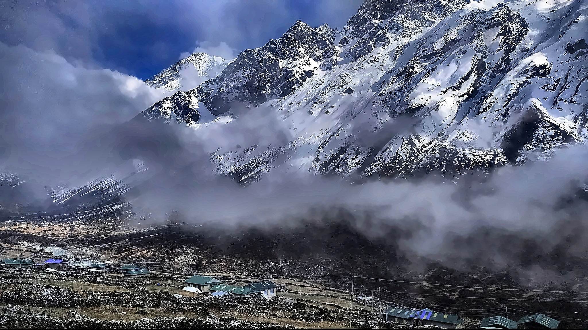
Beyond Dongang, the valley begins to open and the atmosphere becomes distinctly more Himalayan. The climb eventually reaches Beding at 3,690 m, the main settlement of upper Rolwaling. Stone houses, Buddhist traditions, prayer flags and the surrounding mountains give Beding a character quite different from the busier villages found on Nepal’s more established trekking routes.
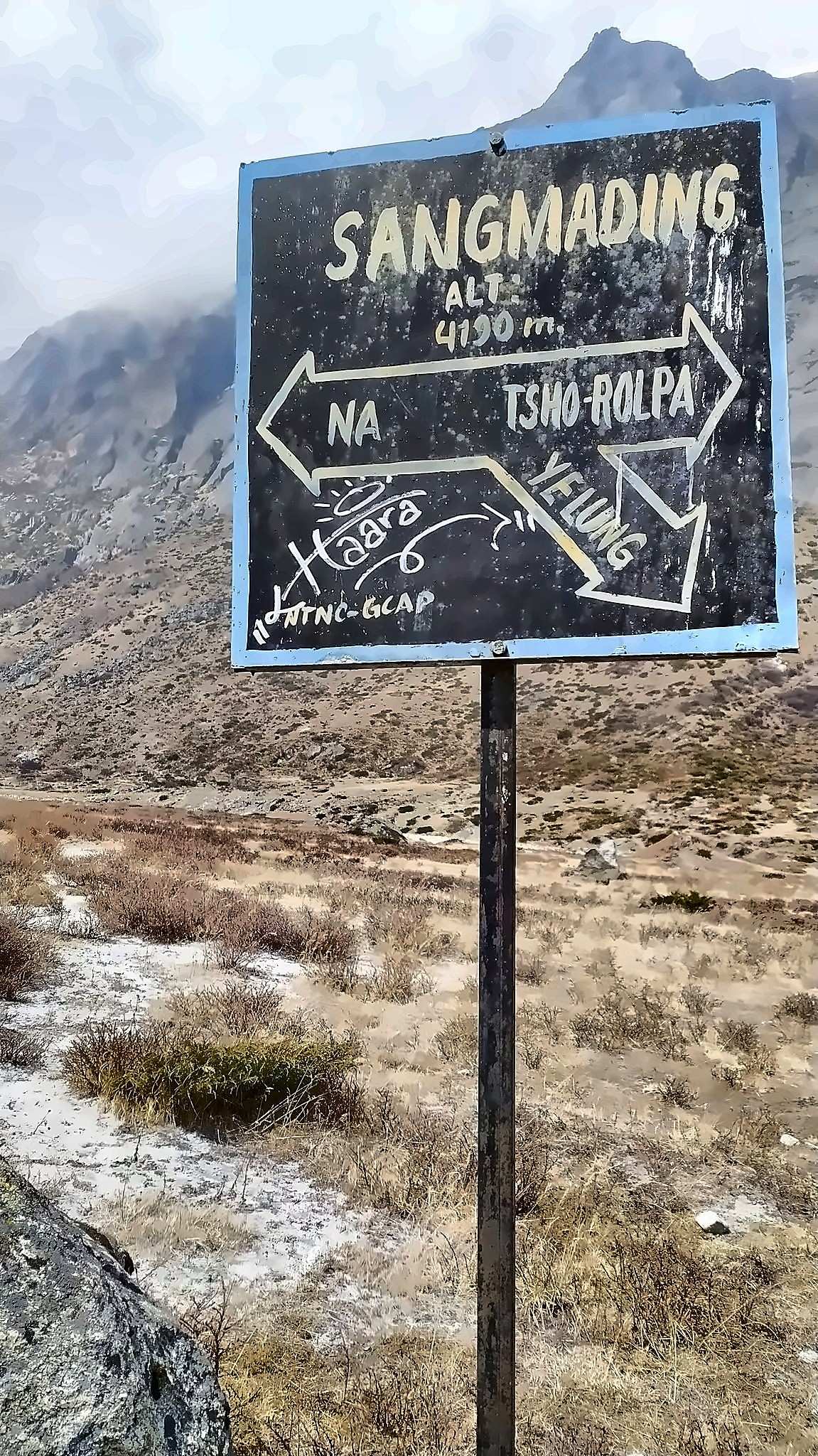
The next stage continues to Na Village at 4,183 m. Na is a seasonal high-altitude settlement traditionally connected with the families of Beding, many of whom have used land in both villages according to the season. Yak herding, livestock, potato cultivation and other forms of mountain agriculture have long been part of life in this upper valley.

Rolwaling also carries a strong sense of mountain folklore. Stories associated with the Yeti have been passed down in the region for generations, adding another layer to an already isolated valley. Whether or not you are interested in the legends, the quiet trails, old settlements and towering mountains make it easy to understand why Rolwaling has inspired so many stories.
The landscape changes most dramatically above Na. Grassland gives way to rocky slopes, moraine and glacial terrain as the trail approaches Tsho Rolpa. The final climb is not technically difficult in normal conditions, but the altitude makes the walk noticeably harder and a steady pace becomes important.

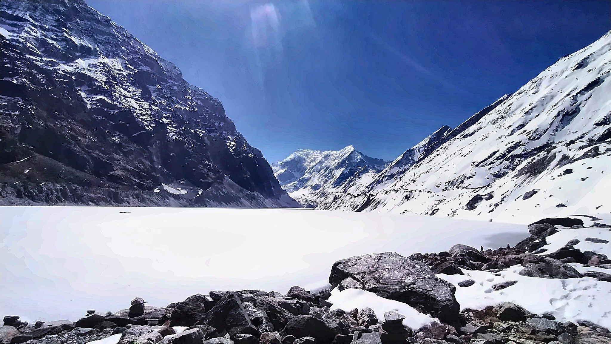
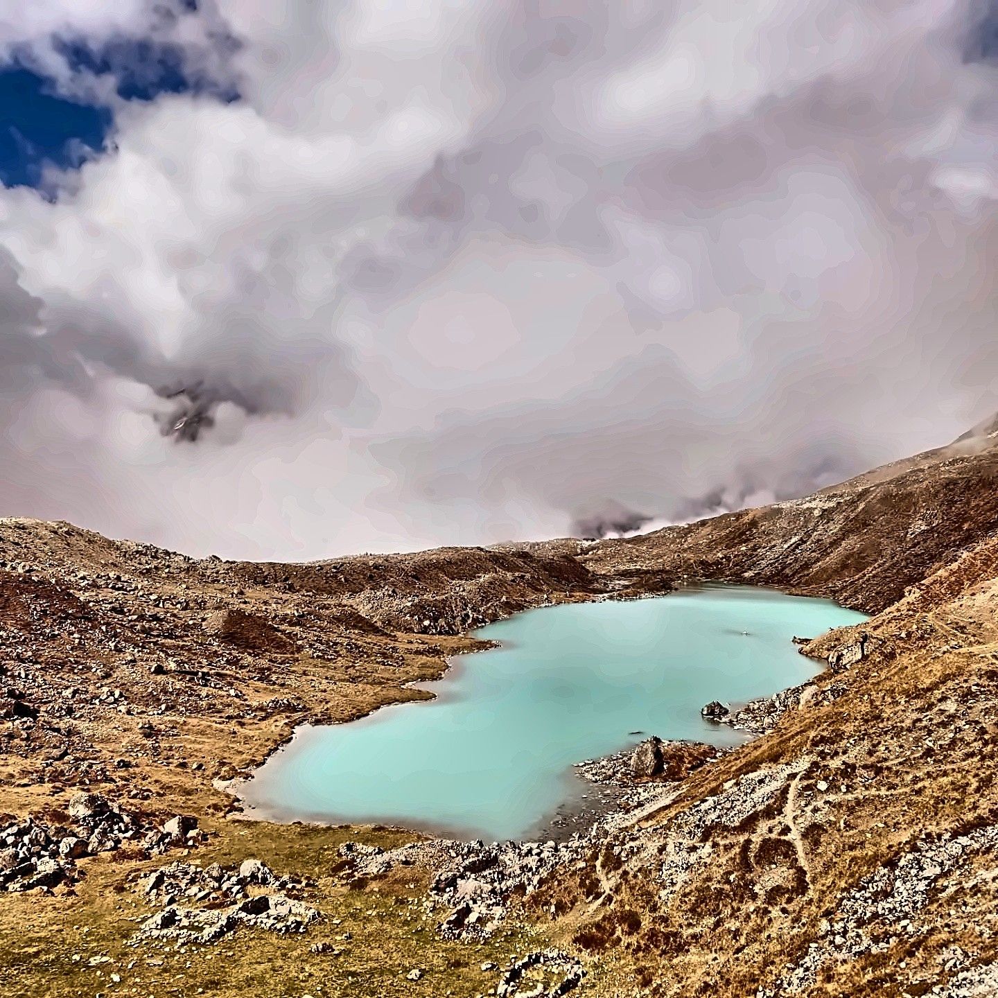
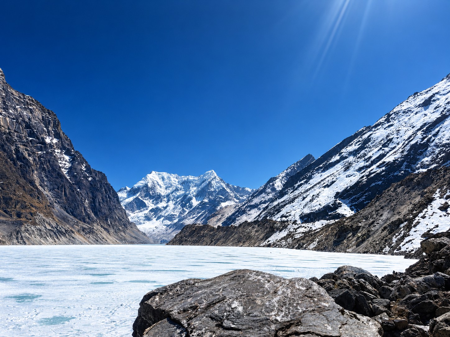
Tsho Rolpa is one of Nepal’s best-known glacial lakes, situated high in the Rolwaling Valley. For our trek, we use an elevation of approximately 4,580 m, making the lake the highest point of the journey.
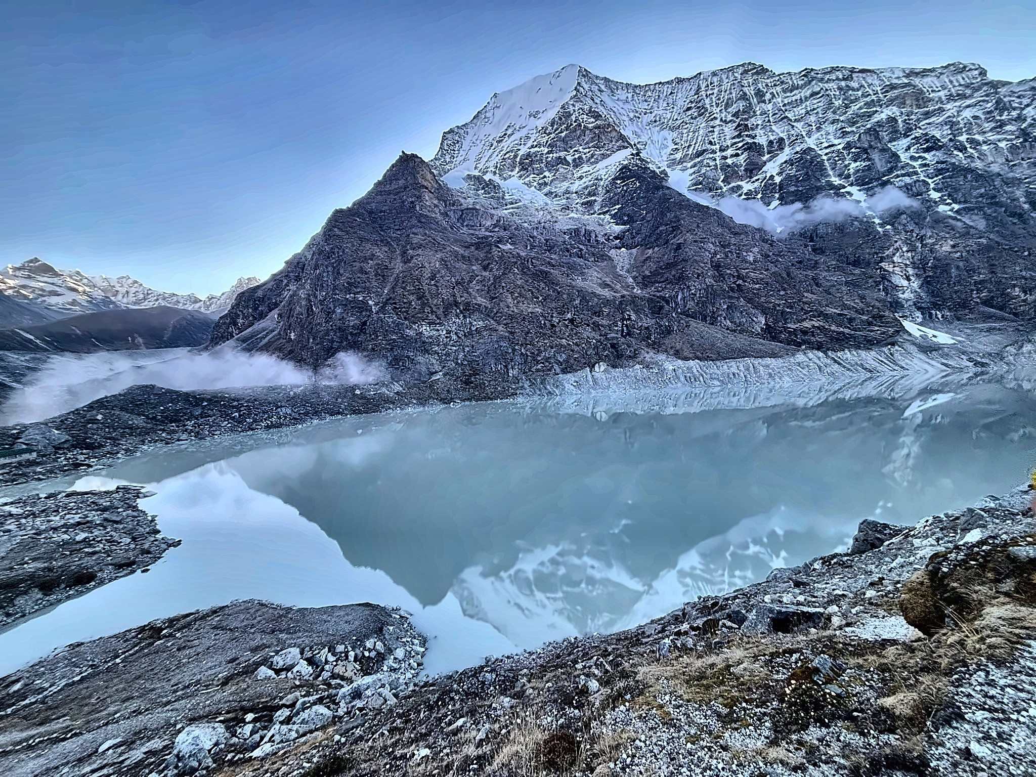
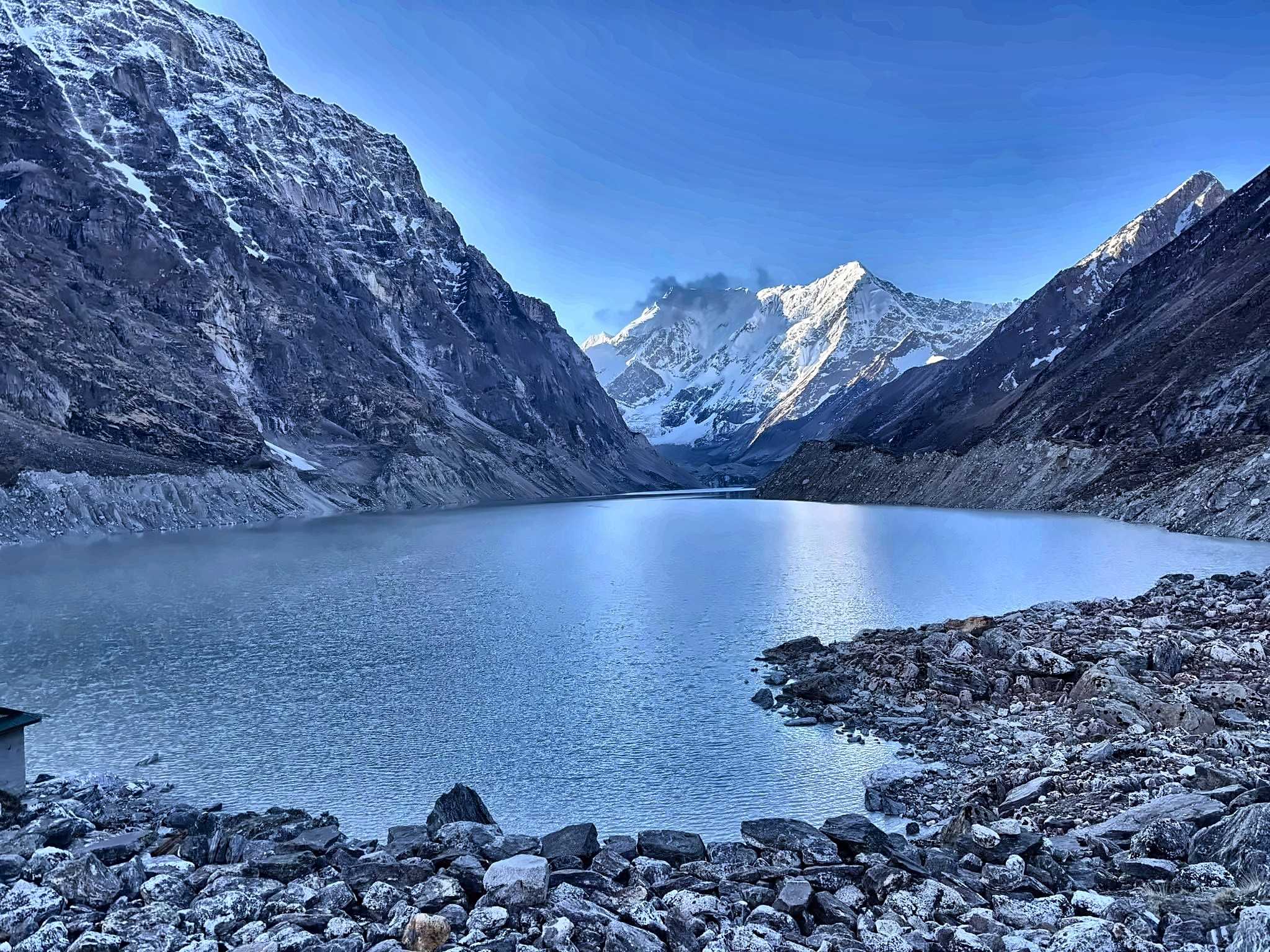
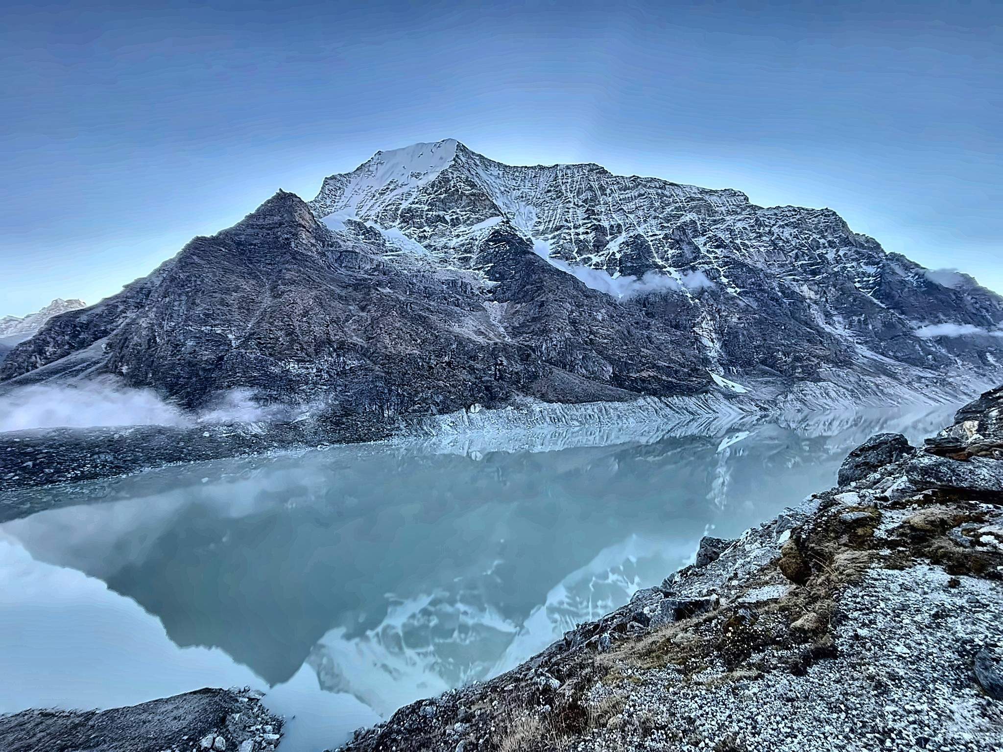
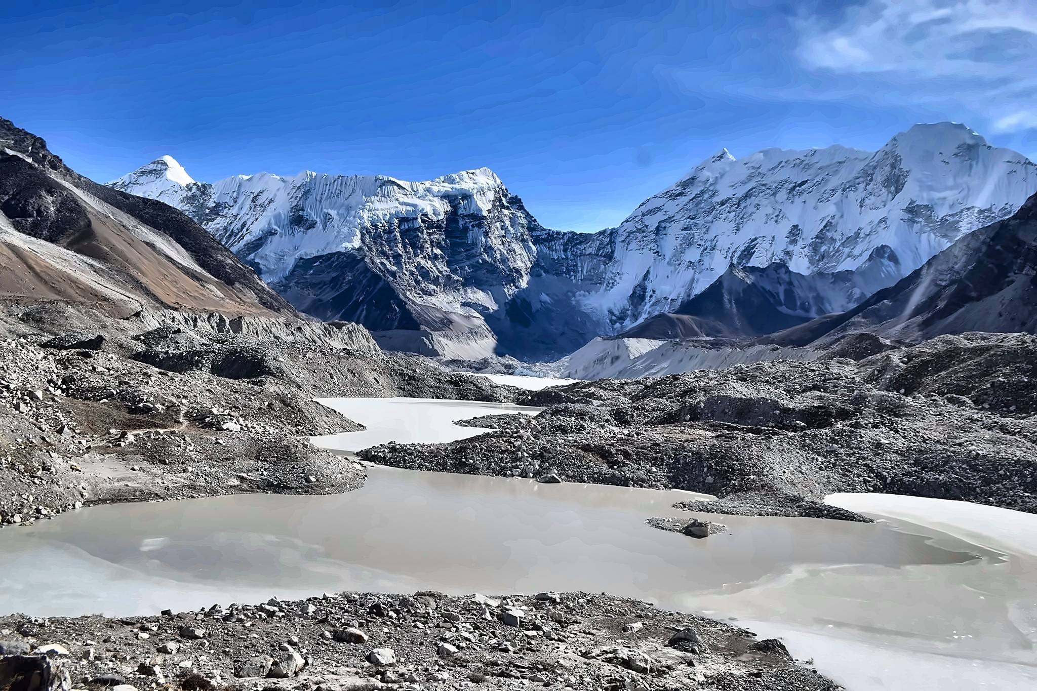
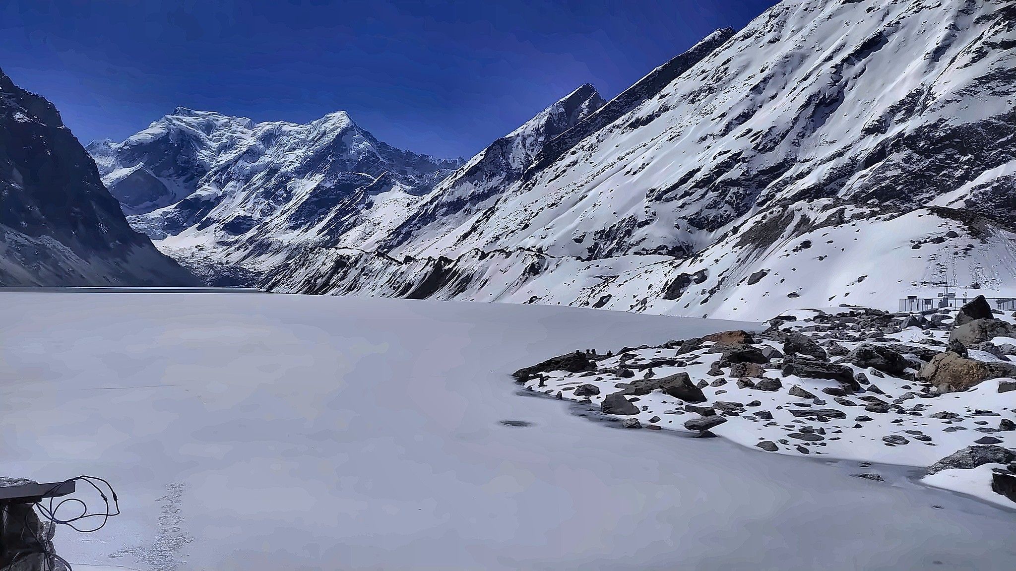
The lake has developed within a moraine-dammed glacial landscape associated with the retreat of the Trakarding Glacier. Its pale glacial water, surrounding moraine and barren mountain slopes create scenery completely different from the forests and cultivated land seen during the first half of the trek.
Tsho Rolpa has also been studied and monitored for many years because of the potential danger of a glacial lake outburst flood. Measures have previously been taken to lower the lake level, making Tsho Rolpa an important place not only for trekking but also for understanding the changing Himalayan glacial environment.

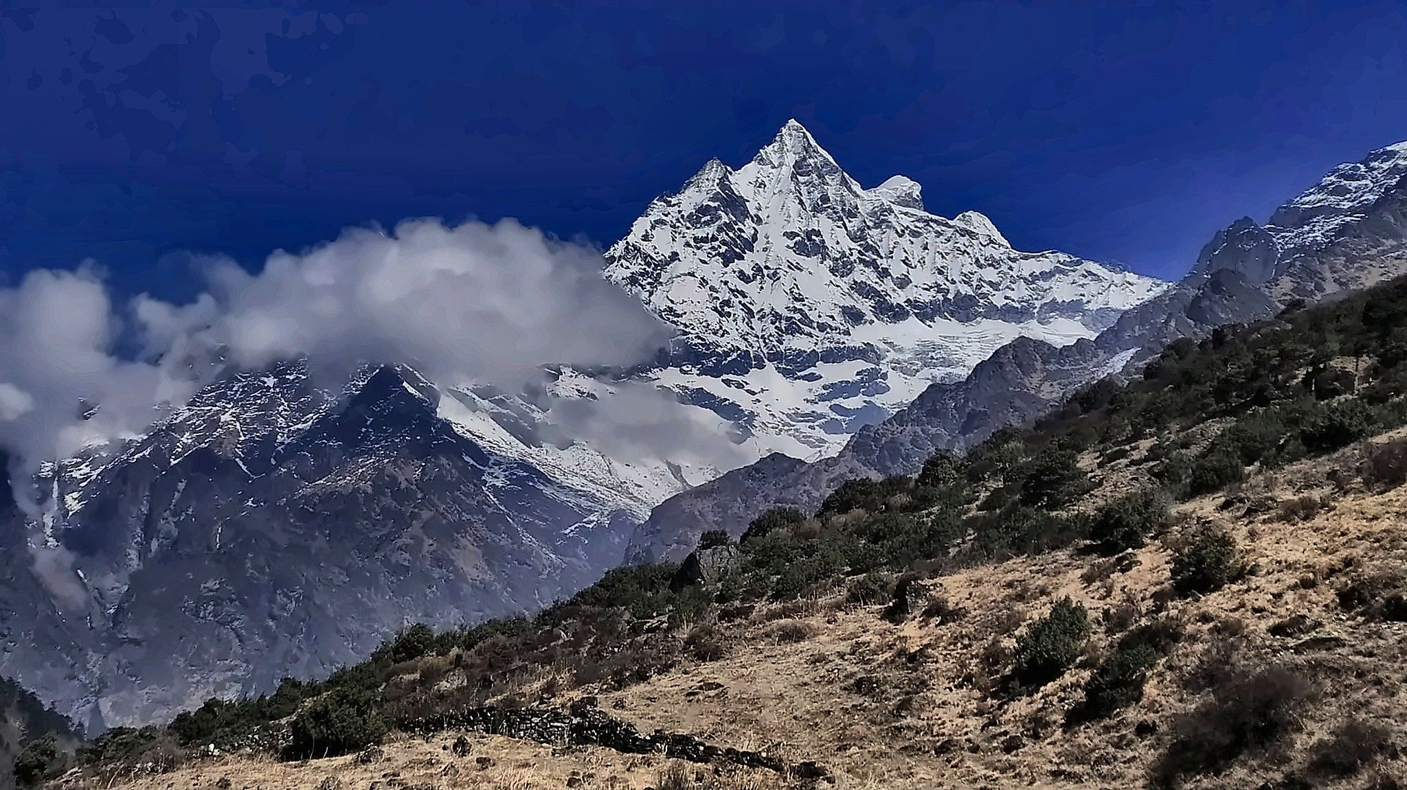
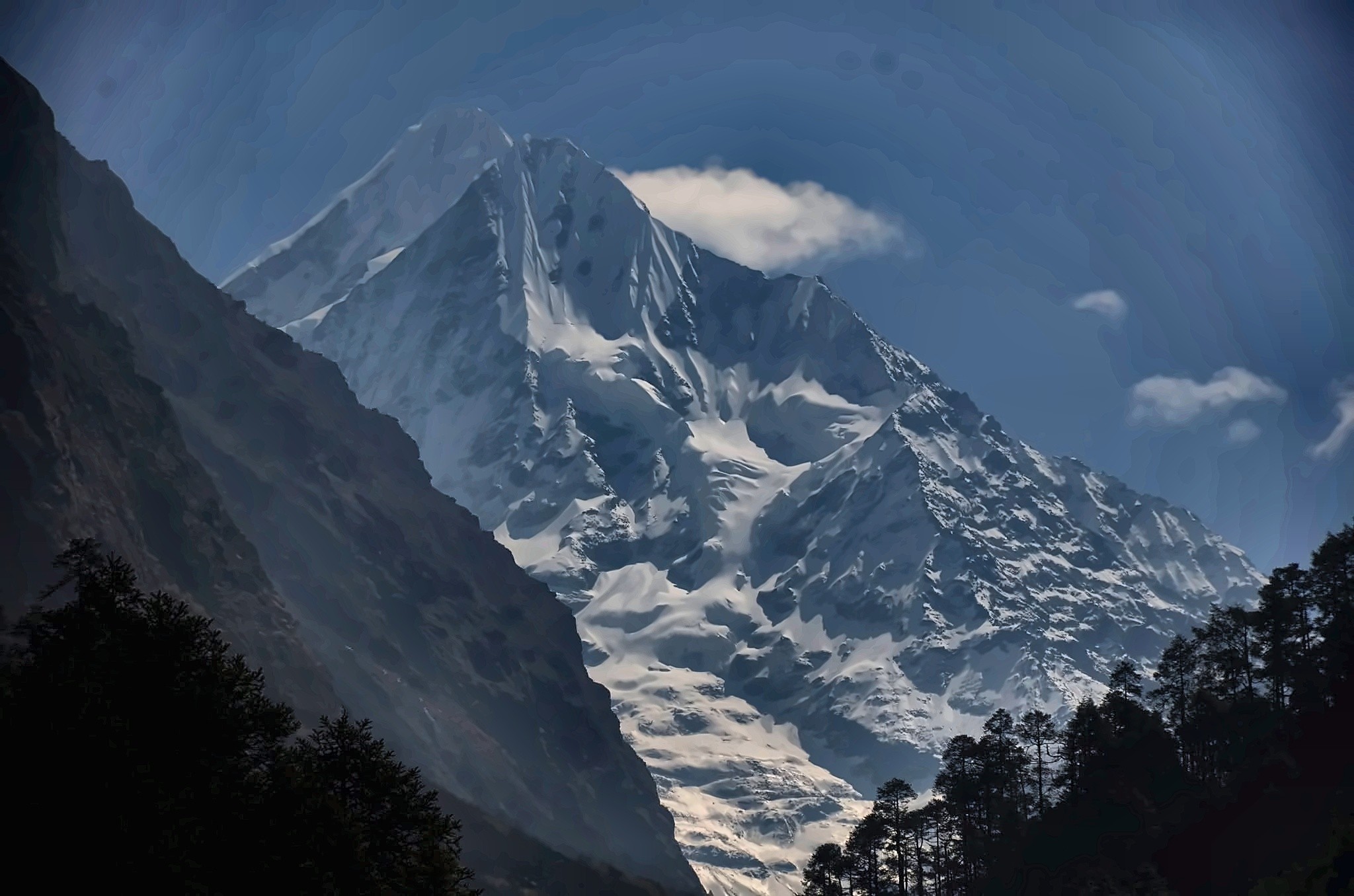
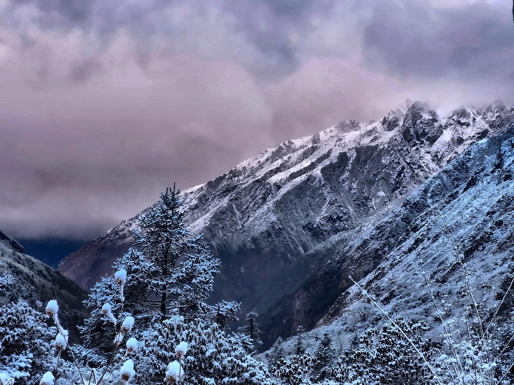
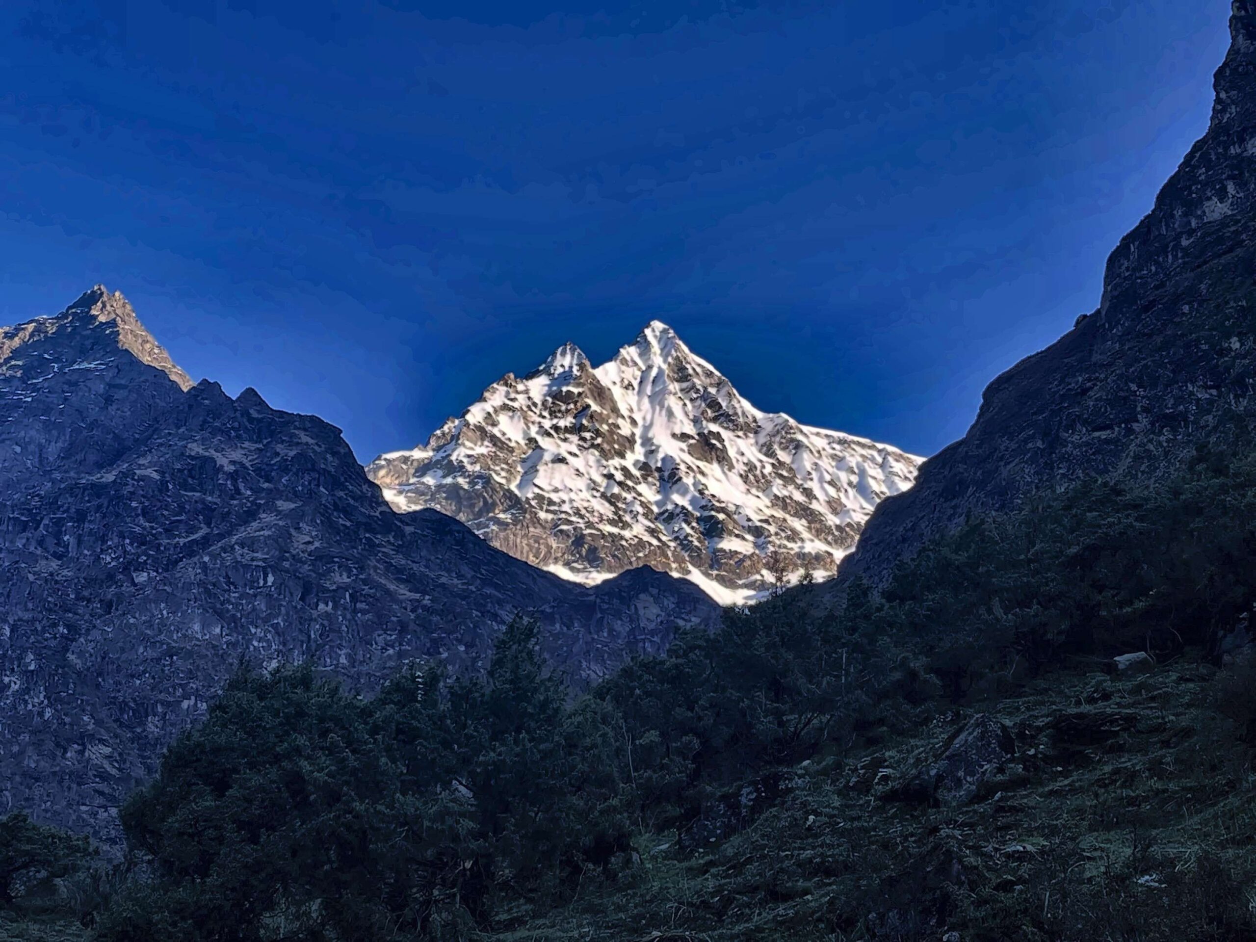
Reaching the lake is the defining moment of the trek. Tsho Rolpa lies in a broad high-altitude basin beneath the glaciers and peaks of the Rolwaling Himal. Mountains such as Gaurishankar and other summits of the range form part of the wider scenery, while the contrast between the green lower valley and the exposed glacial landscape is one of the most memorable features of the route.
The trek lies within the Gaurishankar Conservation Area, a protected region stretching across a remarkable range of elevations and habitats. The conservation area also forms an important ecological connection between the Langtang and Sagarmatha protected landscapes.
Although this is a relatively compact trek, it should not be underestimated. The trail reaches well above 4,000 m, includes steep climbs and descents, and several days involve five or more hours of walking. For trekkers who want a quieter Himalayan trail, genuine village life and a high-altitude glacial destination without committing to a long expedition, Tsho Rolpa offers a very distinctive experience.
Highlights of the Tsho Rolpa Trek
- Reach Tsho Rolpa Lake at around 4,580 m, the highest point and main destination of the trek.
- Journey deep into the quiet Rolwaling Valley, away from Nepal’s more crowded trekking routes.
- Experience traditional Sherpa culture and mountain life in Simigaon, Beding and the upper valley.
- Discover the seasonal relationship between Beding and Na Village, shaped by farming, livestock and high-altitude living.
- Walk through beautiful rhododendron, pine and mixed forests, alongside rivers, streams and waterfalls.
- Watch the landscape change from terraced subtropical hills to yak pastures, alpine slopes, moraine and glacial terrain.
- Enjoy Himalayan scenery around Gaurishankar and the Rolwaling Himal as you travel deeper into the valley.
- Travel within the diverse and protected landscapes of the Gaurishankar Conservation Area.
- Hear some of the Yeti folklore traditionally associated with the Rolwaling Valley and experience the isolated landscape behind those local legends.
- Complete a compact 9-day Kathmandu-to-Kathmandu adventure combining remote villages, Buddhist culture, forests and one of Nepal’s remarkable high-altitude glacial lakes.
Detailed Itinerary - Tsho Rolpa Trek (9 Days)
Your journey to Tsho Rolpa begins in Kathmandu. After landing at Tribhuvan International Airport, a representative from Top Trail Nepal will meet you and transfer you to your hotel.
The rest of the day is deliberately kept easy. You can recover from the flight, walk around Thamel or pick up anything still missing from your trekking gear.
Before heading into Rolwaling, we will also go through the route with you so you know what to expect from the road journey, the simple teahouses, the increasing altitude and the more remote sections above Beding.
An early start takes us east from Kathmandu toward Dolakha. The drive passes through the middle hills, roadside towns and cultivated slopes before continuing through the Charikot and Singati area toward Chet Chet.
The paved sections eventually give way to rougher mountain road as we travel deeper into the Tama Koshi corridor. It is a long drive, but the surroundings become increasingly rural as Kathmandu disappears behind us.
At Chet Chet, the vehicle journey ends and the trek begins almost immediately with a steep climb. Although the walking distance is short, there is a substantial elevation gain as the trail rises through subtropical vegetation and terraced hillsides.
Eventually we arrive at Simigaon, a traditional mountain village set high above the valley. Its monastery, stone houses and first views into the Rolwaling region make it a rewarding finish to a long first day.
Drive Distance: Around 195 km by road
Drive Hours: Around 7 to 8 hrs
Today feels like the real entrance into the Rolwaling Valley.
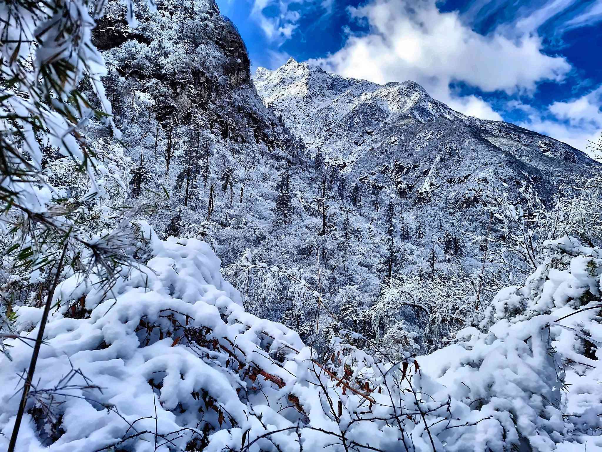
Leaving the cultivated slopes around Simigaon, the path soon enters thick woodland. Rhododendron, oak and pine surround much of the route, while mountain streams and the sound of the river appear between the trees.
The walk is not simply one continuous climb. There are several ups and downs as we pass places such as Uttise, Surmuche and Kyalche, with opportunities to stop for tea or lunch along the way.
The forest makes this one of the most atmospheric days of the trek, particularly in spring when the rhododendrons are flowering. By late afternoon, we reach the Dongang area beside the Rolwaling Khola.
Facilities here are simple and can vary according to local operating conditions, which is part of travelling through a valley that still receives relatively few trekkers.
The valley begins to reveal a completely different character today.
From Dongang, the path follows the Rolwaling Khola upstream, climbing steadily through forest and crossing side streams as the walls of the valley rise around us. Waterfalls drop from the surrounding slopes and the vegetation gradually begins to thin with altitude.
We pass through the area around Thangdingma, a useful place to pause before continuing into the higher valley. Beyond here, the trail becomes increasingly open and the mountains start to feel much closer.
Our destination is Beding, the main settlement of upper Rolwaling. Traditional stone houses, prayer flags and Buddhist sites give the village a strong local identity, while the surrounding peaks make it one of the most memorable overnight stops of the trek.
Unlike the larger trekking hubs of Everest or Annapurna, Beding still feels distinctly small and isolated.
There is no need to rush today. The distance from Beding to Na is relatively short, and that works in our favour as we move above 4,000 m.
The trail follows the river through an increasingly open valley. Forest gradually disappears behind us, replaced by alpine grassland, stone walls, yak pastures and broad views of the Rolwaling Himal.
The relationship between Beding and Na Village is especially interesting. For generations, local families have moved between the two settlements according to the season. Families with homes in Beding may also maintain simple houses and grazing land around Na, where potatoes are grown and livestock are kept during the warmer months.
Yaks and other high-altitude livestock remain part of life in this upper valley, providing milk, butter and other products for local households.
We reach Na with plenty of time to settle in and allow the body to adjust before tomorrow’s climb to Tsho Rolpa.
This is the day we have been walking toward.
We leave Na in the morning and follow the upper valley toward Tsho Rolpa. The first part is comparatively gentle, passing open pasture and glacial streams before the ground becomes rockier closer to the lake.
The final approach climbs through moraine left by the glaciers of the upper Rolwaling Valley. At this altitude the pace naturally becomes slower, and the last climb can feel considerably harder than the distance suggests.
At around 4,580 m, Tsho Rolpa finally comes into view. The large glacial lake lies beneath a stark landscape of moraine, ice and Himalayan peaks, with the Trakarding Glacier associated with the glacial system feeding the lake. Tsho Rolpa is also one of Nepal’s best-known glacial lakes and has been closely monitored because of its history of glacial-lake outburst flood risk.
There is time to enjoy the lake and surrounding scenery before retracing the route to Na. After a rest and something to eat, we continue downhill along the Rolwaling River to Beding, where we spend the night.
It is a full day, but descending to Beding after visiting the lake puts us in a much better position for the journey back to Kathmandu.
Today is a long descent, but the familiar trail feels very different when viewed from the opposite direction.
We leave the open upper valley behind and descend past Thangdingma and Dongang, gradually returning to the thick forests of the lower Rolwaling region.
Rhododendron, pine and other woodland once again surround the path as we continue through Kyalche and Surmuche. After several days above 3,500 m, the warmer air and greener surroundings are immediately noticeable.
The final section brings us back to Simigaon. Compared with the quiet high valley around Na and Beding, the village suddenly feels lively again, and it makes a comfortable place to spend the final night on the trail.
Our last morning in Rolwaling begins with the steep descent from Simigaon.
The trail drops through terraced slopes and subtropical vegetation toward Chet Chet, completing the same climb that introduced us to the trek several days earlier.
After reaching the road, we meet our vehicle and begin the long drive back toward Kathmandu. The journey retraces the route through the Dolakha hills, passing Singati and Charikot before continuing west toward the Kathmandu Valley.
It is a long travel day, so road conditions and traffic can influence the actual arrival time. Once back in Kathmandu, you transfer to your hotel and have the evening free.
Drive Distance: Around 195 km by road
Drive Hours: Around 7 to 8 hrs
The Tsho Rolpa journey comes to an end today.
Depending on your flight time, you may have a little free time for breakfast, shopping or a final walk around Kathmandu before leaving the hotel.
A representative from Top Trail Nepal will transfer you to Tribhuvan International Airport for your onward flight.
You leave after a compact but remarkably varied journey, from Kathmandu’s busy streets to the forests of lower Rolwaling, the Sherpa settlements of Beding and Na, and finally the glacial landscape of Tsho Rolpa at 4,580 m.
What's Included
Airport Transfers
|
Hotel Accommodation in Kathmandu
|
Ground Transportation
|
Meals During the Trek
|
Teahouse Accommodation
|
Professional Trekking Staff
|
All Required Trekking Permits
|
Safety & Medical Support
|
Staff Insurance & Welfare
|
Taxes & Service Charges
|
What's Not Included
International Travel & Visa
|
Travel Insurance
|
Personal Trekking Gear
|
Personal Expenses
|
Tips for Trekking Staff
|
Emergency Evacuation Costs
|
Any Other Costs
|
Departure Dates
Route Map & Gallery

Frequently Asked Questions - Tsho Rolpa Trek
The Tsho Rolpa Trek is a moderate to challenging high-altitude trek. It includes steep climbs, long descents, remote mountain trails and walking above 4,000 m. The final approach to Tsho Rolpa is especially demanding because of the altitude and rocky terrain, although no technical climbing is involved.
Yes. Under Nepal’s current trekking regulations, the Rolwaling Trek requires a licensed trekking guide and an agency-issued TIMS Card. A guide is also especially useful in the upper Rolwaling Valley, where accommodation is limited and weather and trail conditions can change quickly.
The trek requires a Gaurishankar Conservation Area Permit, TIMS Card and the applicable Restricted Area Trekking Permit for the Dolakha–Gaurishankar area. Top Trail Nepal arranges the required trekking permits and documentation before departure.
Yes. The trek reaches Tsho Rolpa Lake at around 4,580 m, while Na Village at 4,183 m is the highest overnight stop. Altitude sickness can affect anyone regardless of fitness, so walking slowly, staying hydrated and reporting symptoms to your guide are important.
The best seasons are generally spring from March to May and autumn from September to November. Spring brings flowering rhododendrons and milder conditions in the lower valley, while autumn normally provides clearer skies and excellent Himalayan visibility.
Winter trekking is possible for experienced trekkers, but snow and cold can make the upper route more difficult. Monsoon months bring rain, slippery trails and possible road disruption.
Our Tsho Rolpa Trek is a 9-day Kathmandu-to-Kathmandu itinerary, including arrival and departure days. The trekking route travels through Simigaon, Dongang, Beding and Na before reaching Tsho Rolpa Lake and returning through the Rolwaling Valley.
Accommodation is mainly in local teahouses and small mountain lodges. Facilities are relatively simple throughout the Rolwaling Valley and become more basic around Beding and Na, where shared bathrooms and limited electricity are common.
Connectivity is limited, especially in the upper Rolwaling Valley. Some settlements may have mobile signal, electricity or charging facilities, but reliable internet should not be expected throughout the trek.
Travel insurance is strongly recommended. Your policy should cover high-altitude trekking to at least 4,600 m, medical treatment and emergency helicopter evacuation.
No. The standard Tsho Rolpa Trek is a trekking route rather than a climbing expedition. However, the final approach to the lake can involve rocky moraine and uneven terrain, so sturdy trekking boots and trekking poles are useful.
Most trekking days involve around 4 to 6 hours of walking, while longer return days can take 6 to 8 hours. Walking time depends on the trail, altitude, weather and individual pace.
Yes. The itinerary can be adjusted depending on your available time, fitness, interests and preferred pace. Extra days can also be added in Beding, Na or Kathmandu if you want a slower journey.
Useful Info
The Tsho Rolpa Trek is shorter than many of Nepal’s classic high-altitude journeys, but it still travels into a remote mountain valley and reaches 4,580 m at Tsho Rolpa Lake. The facilities, weather and trail conditions change considerably between Chet Chet and the upper Rolwaling Valley, so a little preparation makes a big difference.
The information below covers the practical side of the trek, including the best seasons, difficulty, altitude, accommodation, food, permits, transportation, safety, insurance and what to carry.
Best Time for the Tsho Rolpa Trek
The most popular seasons for the Tsho Rolpa Trek are spring from March to May and autumn from September to November. These months generally provide the most comfortable combination of mountain visibility, trail conditions and temperatures.
Spring is especially attractive in the lower Rolwaling Valley, where rhododendrons flower through the forest around Simigaon and Dongang. Autumn usually brings clearer air after the monsoon and excellent views across the upper valley. Even during these seasons, temperatures around Na and Tsho Rolpa can fall quickly once the sun disappears.
| Season | What to Expect | Suitability |
|---|---|---|
| March – May | Improving temperatures, rhododendron forests in bloom and generally good mountain visibility. | Excellent |
| June – August | Monsoon rain, muddy trails, slippery forest sections and possible disruption on mountain roads. | Less suitable |
| September – November | Clearer post-monsoon skies, good visibility and generally favourable trekking conditions. | Excellent |
| December – February | Cold high-altitude conditions with possible snow around Na and the Tsho Rolpa approach. | More demanding |
Trek Difficulty and Fitness
We describe the Tsho Rolpa Trek as a moderate to challenging high-altitude trek. There is no technical climbing in the standard itinerary, but that does not mean every day is easy.
The climb from Chet Chet to Simigaon is short but steep, while the journey from Dongang to Beding gains a considerable amount of elevation. The hike from Na to Tsho Rolpa takes place above 4,000 m on increasingly rocky and exposed ground, where the effect of altitude can make even a moderate gradient feel harder.
Some return stages involve 6 to 8 hours of walking, so reasonable cardiovascular fitness and strong legs are important. Previous trekking experience is helpful but not essential for a healthy and well-prepared trekker who is comfortable walking on mountain trails.
Altitude and Acclimatization
One advantage of the route is that the elevation builds gradually as you move through the Rolwaling Valley. You begin below 2,000 m, sleep at progressively higher settlements and reach Na Village at 4,183 m before hiking to Tsho Rolpa.
The highest point of the itinerary is Tsho Rolpa Lake at approximately 4,580 m. Although you do not sleep at the lake, altitude sickness is still possible and should be taken seriously.
| Location | Altitude | Route Stage |
|---|---|---|
| Simigaon | 2,005 m | First trekking overnight stop. |
| Dongang | 2,790 m | Forested middle valley. |
| Beding | 3,690 m | Main upper Rolwaling settlement. |
| Na Village | 4,183 m | Highest overnight point. |
| Tsho Rolpa Lake | 4,580 m | Highest point of the trek. |
Walk at a steady pace, drink enough water and avoid trying to reach the higher settlements too quickly. Persistent headache, nausea, dizziness, unusual weakness, loss of coordination or difficulty breathing should be reported to your guide immediately.
Accommodation in the Rolwaling Valley
The Tsho Rolpa route is much less developed than the major Everest or Annapurna trails. During the trek, accommodation is mainly in small local teahouses and mountain lodges.
Rooms are generally simple, often with twin beds and shared bathroom facilities. Simigaon and Beding usually provide more established accommodation, while facilities around Dongang and especially Na can be considerably more basic.
Availability can also change according to the season and local conditions. A good sleeping bag is therefore worth carrying even when blankets are available at the lodge.
Meals Along the Trail
Breakfast, lunch and dinner are provided during the trekking days and are prepared at local teahouses. Do not expect the large menus found in Namche or the Annapurna region; this is a smaller and more isolated trekking valley.
Depending on the lodge, meals can include dal bhat, noodles, soup, fried rice, potatoes, eggs, pasta, Tibetan-style bread and seasonal vegetables. Tea, coffee and other hot drinks are generally available. Choices become more limited as you travel toward Beding and Na because supplies are harder to transport into the upper valley.
Guide and Trekking Support
The Rolwaling Valley is remote and receives far fewer trekkers than Nepal’s major trekking regions. Your licensed trekking guide manages route navigation, accommodation arrangements, daily pacing and changing trail or weather conditions.
A guide is particularly useful higher in the valley where accommodation is limited and conditions around Na and the lake can change quickly. Under Nepal’s current trekking system, Rolwaling Trek is also among the routes listed for licensed-guide and agency-issued TIMS requirements.
Permits for the Tsho Rolpa Trek
The route lies inside the Gaurishankar Conservation Area, so protected-area entry documentation is required. The current trekking system also applies TIMS requirements to the Rolwaling trekking region.
| Permit / Document | Current Information |
|---|---|
| Gaurishankar Conservation Area Permit | NPR 3,000 for foreign visitors and NPR 1,000 for SAARC visitors. |
| TIMS Card | NPR 2,000 for non-SAARC trekkers and NPR 1,000 for SAARC trekkers under the current agency-issued system. |
| Licensed Guide | Rolwaling Trek is currently listed among routes covered by Nepal’s licensed-guide and TIMS provision. |
Top Trail Nepal arranges the applicable trekking documents before departure. Government regulations and permit charges can change, so the requirements are reconfirmed for your travel dates.
Road Journey to Chet Chet
The trek begins with a long road journey from Kathmandu toward Chet Chet in Dolakha. The route travels through the middle hills and the Charikot–Singati area before continuing toward the Rolwaling trailhead.
The later sections of road are rougher than the main highways, and travel time can change depending on rain, landslides, construction, traffic and general road conditions. The same route is used for the return journey after descending from Simigaon.
Travel Insurance and Emergency Evacuation
Travel insurance is strongly recommended for this trek. Your policy should specifically cover high-altitude trekking to at least 4,600 m, medical treatment and emergency helicopter evacuation.
Tsho Rolpa is reached through a remote valley with limited road access above Chet Chet. In a serious medical emergency, evacuation from the upper valley may require helicopter assistance. Coverage, payment and authorization depend on the conditions of your individual insurance policy, so check the details carefully before travelling.
Safety in the Upper Rolwaling Valley
The main safety concerns are altitude, changing weather, steep or slippery trails and the remoteness of the upper valley. Conditions can be very different between the forest below Beding and the exposed terrain near Tsho Rolpa.
Tsho Rolpa is a moraine-dammed glacial lake that has been studied and monitored because of its history of glacial-lake outburst flood risk. Trekkers should remain on the established route, avoid unstable moraine or glacial terrain and follow the guide’s instructions around the lake.
Drinking Water
Water can be obtained at teahouses and from local sources along the route, but untreated stream or tap water should not be consumed directly. Carry a reusable bottle and use boiled water, purification tablets, purification drops or a reliable filter when necessary. Staying properly hydrated is particularly important once you begin sleeping above 3,500 m.
Electricity, Mobile Network and Internet
Connectivity becomes increasingly limited as you move deeper into Rolwaling. Some settlements may have electricity, charging or mobile coverage, but none of these services should be treated as guaranteed throughout the route.
Carry a power bank and charge your phone or camera whenever electricity is available. Download important documents, maps and emergency information before leaving Kathmandu rather than depending on internet access in the upper valley.
What to Pack for Tsho Rolpa
| Category | Recommended Items |
|---|---|
| Clothing | Trekking shirts, warm layers, fleece, insulated jacket, trekking trousers and waterproof outer layers. |
| Footwear | Well broken-in trekking boots, comfortable trekking socks and lightweight footwear for the evenings. |
| Cold Weather Gear | Thermal layers, warm hat, gloves and suitable insulation for Na and Tsho Rolpa. |
| Sleeping Gear | Warm sleeping bag suitable for cold nights above 4,000 m. |
| Trail Equipment | Trekking poles, headlamp, sunglasses, sunscreen, water bottles, rain protection and power bank. |
| Personal Items | Personal medication, toiletries, quick-drying towel, basic first-aid items and personal snacks. |
| Documents | Passport, insurance details, emergency contacts and required travel documents. |
Respecting Rolwaling and Gaurishankar Conservation Area
The Rolwaling Valley lies within the Gaurishankar Conservation Area, which protects landscapes ranging from forested middle hills to high alpine and glacial environments.
Carry rubbish until it can be disposed of properly, avoid unnecessary single-use plastic and do not disturb wildlife. Beding, Na and the surrounding settlements also have strong Buddhist and Sherpa cultural traditions, so visitors should respect monasteries, religious objects, local homes and community customs.
Important: Weather, road conditions, teahouse availability and trail conditions can change in the Rolwaling Valley. Walking times are therefore estimates rather than fixed schedules. Top Trail Nepal may adjust the plan when necessary for altitude, weather, trail safety or other local conditions.
Book Tsho Rolpa Trek with Confidence
Join Top Trail Nepal, your trusted local trekking agency in Kathmandu, for the journey of a lifetime. Our experienced guides, strong safety record, and personal service make your Everest dream come true.

- $995 2 people
- $900 3-6 people
- $795 7-12 people