
 Call Us or Whatsapp 9779808220612
 Email Us [email protected]
- English [EN]
- Espanol [ESP]
- France [FR]
- Deutsch [DE]
- China [CN]
- Japan [JP]
- Arabic [AR]
- Hindi [HI]

Makalu Base Camp Trek
 Duration: 17 Days
 Difficulty: Challenging to Strenuous
 Accomodation: Hotel/ Lodge/ Tea House
 Meal: B-L-D
 Max. Altitude: 5,250 m
 Best Seasons: Spring (March-April-May) & Autumn (Sep-Oct-Nov)
Makalu Base Camp Trek
The Makalu Base Camp Trek takes you into one of the quieter and more remote trekking regions of eastern Nepal. Rather than following a busy mountain trail, the journey moves through terraced farmland, forested hills, traditional villages, high mountain passes and the wild Barun Valley before reaching Makalu Base Camp at 4,870 m.
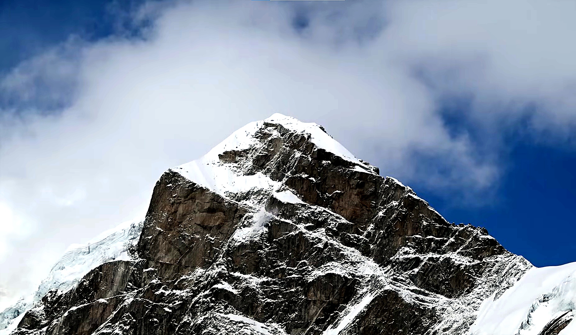
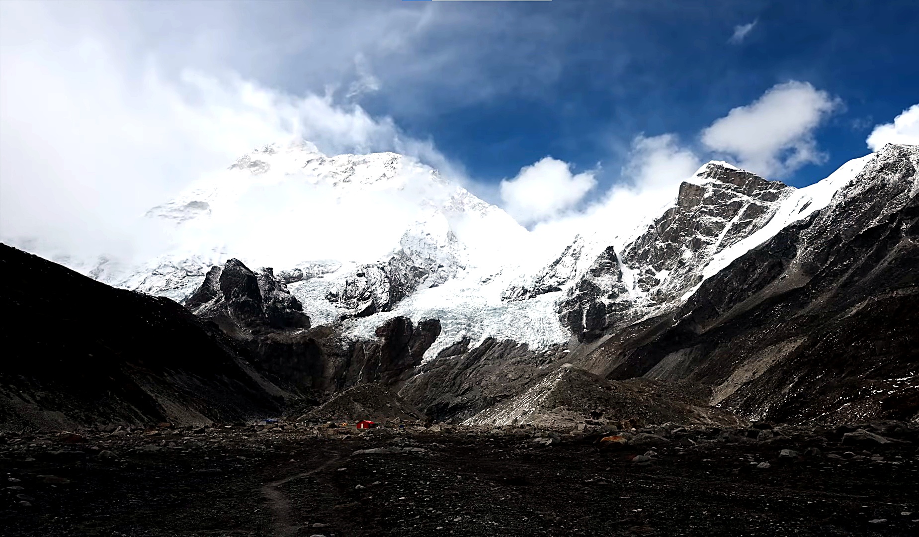
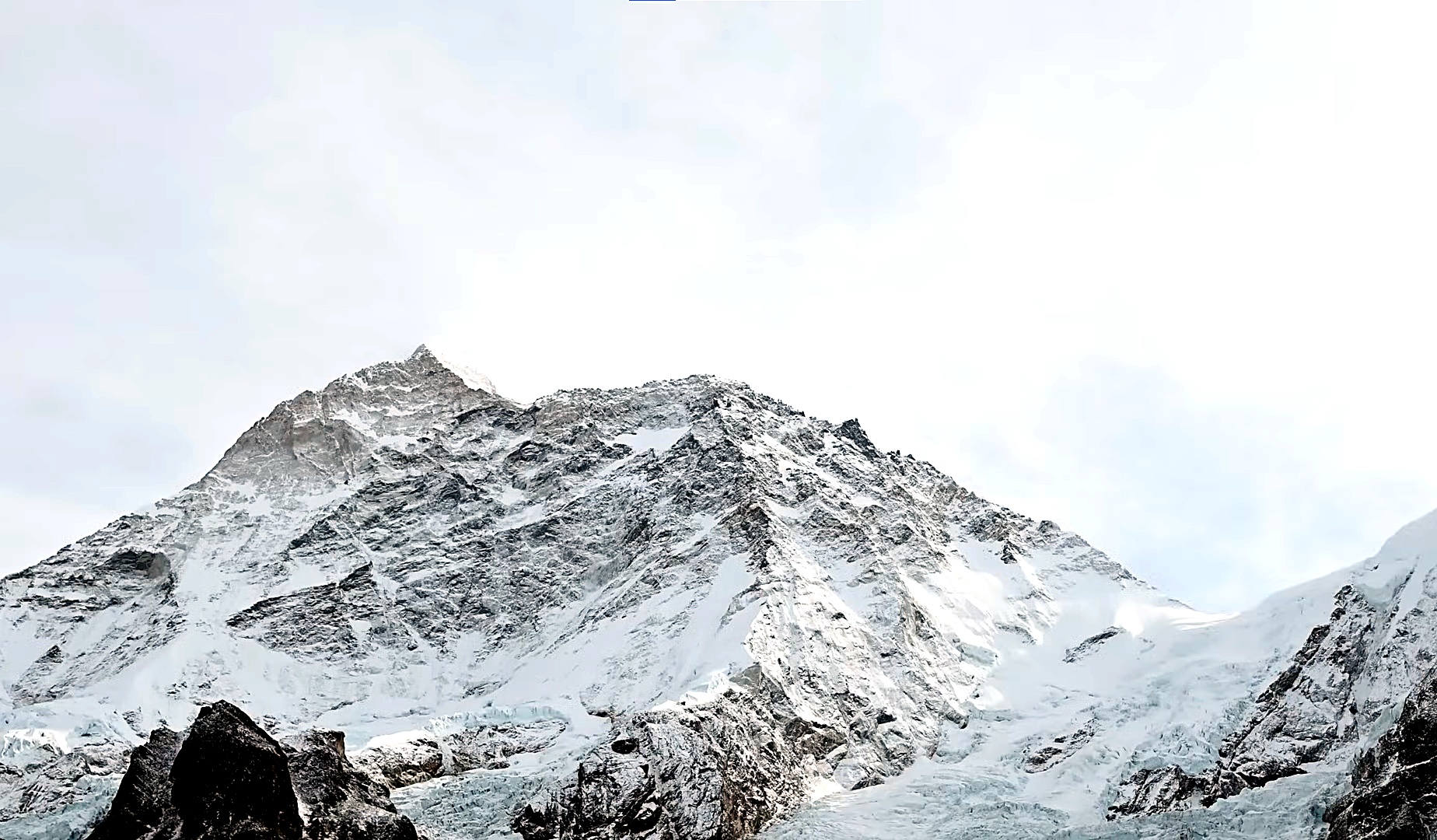
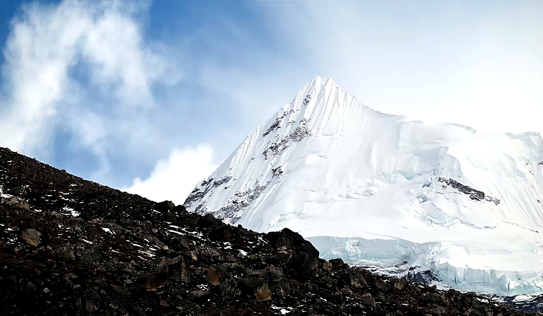
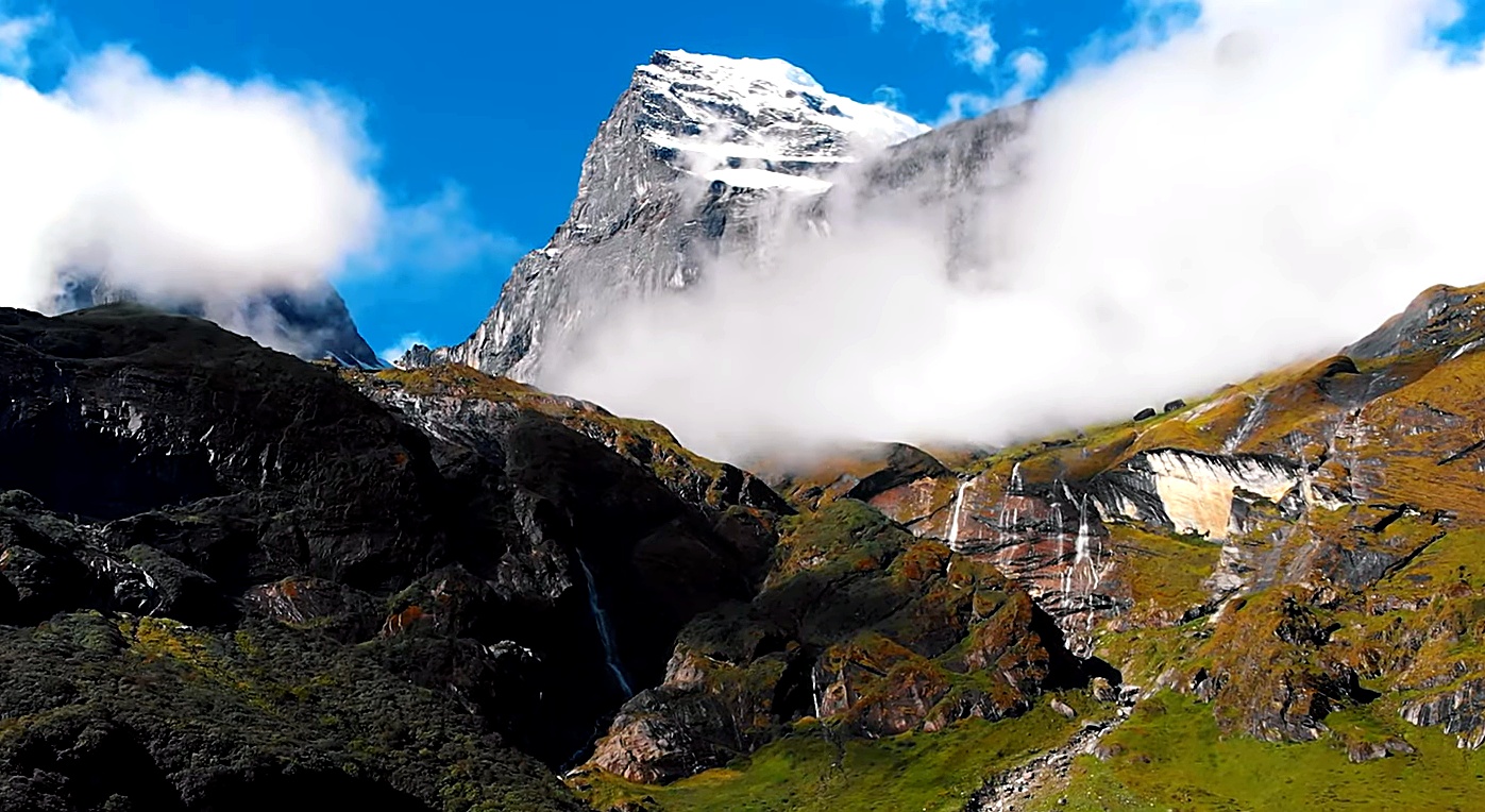
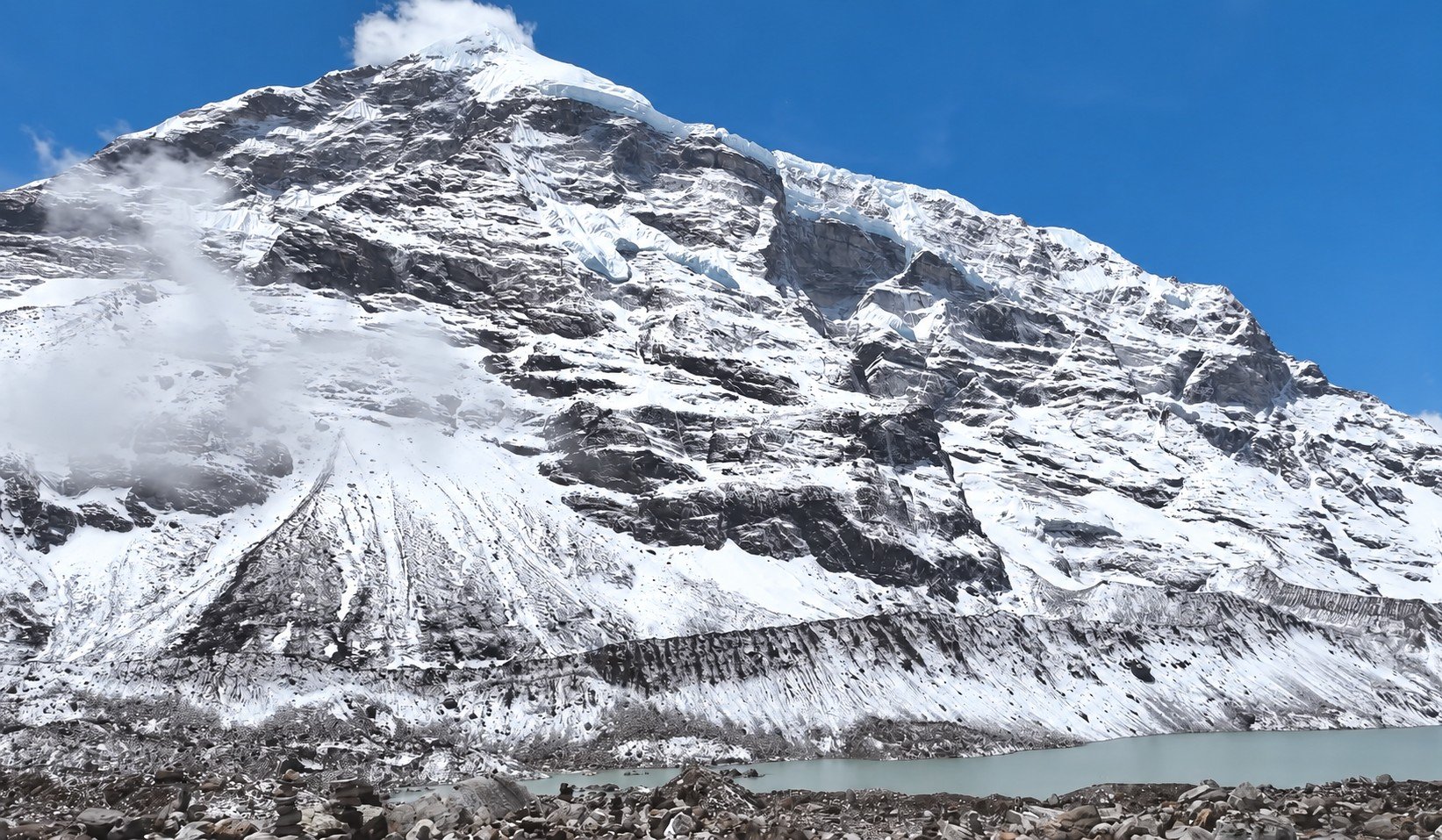
At the center of the journey is Mount Makalu, the fifth-highest mountain in the world at 8,485 m. The mountain remains hidden during much of the lower approach, but gradually becomes more dominant as you move deeper into the upper Barun Valley. By the time you reach Base Camp, glaciers, moraine, sheer rock faces and huge Himalayan walls surround the trail.

The adventure begins with a flight from Kathmandu to Tumlingtar followed by a road journey through Khandbari to Num. From here, the trekking route drops steeply toward the Arun River and climbs through Seduwa and Tashigaon. This lower section passes through cultivated hillsides, bamboo forest and colourful rhododendron woodland, with local villages giving you a glimpse of everyday life in this remote part of Nepal.
Beyond Tashigaon, the character of the trek changes quickly. A long climb leads to Khongma Danda, followed by one of the most demanding sections of the route across Khongma La, Shipton La and Keke La. Small alpine lakes, exposed ridges and changing mountain views make this one of the most memorable parts of the journey.
After crossing the passes, the trail drops into the upper Barun Valley. The surroundings become increasingly wild as the route follows the Barun River through Dobate, Yangle Kharka and Langmale Kharka. Dense forest gradually gives way to alpine pasture, juniper, boulder fields and broad glacial terrain as the elevation rises above 4,000 m.

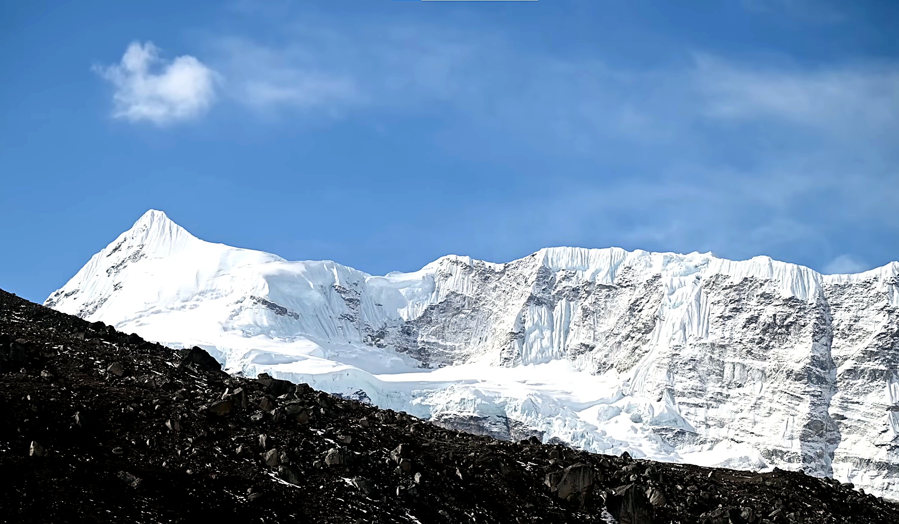
The final approach from Langmale Kharka passes through Shershong before reaching Makalu Base Camp. Here, the enormous south face of Makalu dominates the landscape, with Chamlang, Baruntse, Peak 4 and other Himalayan summits rising around the valley.
An additional day at Base Camp gives you time to explore rather than immediately turning back. Depending on weather, trail conditions and acclimatization, you can hike toward the Barun Glacier or climb toward the higher ridge above Base Camp at around 5,250 m. On a clear day, these higher viewpoints can open remarkable views across the eastern Himalaya, including distant perspectives toward Everest and Lhotse.
The trek is also as much about the changing landscape as the mountains themselves. Within a relatively short horizontal distance, the route travels from warm river valleys and terraced farmland to rhododendron forest, high alpine pasture and glacial wilderness. On the return journey, you cross the same high passes again before descending through Tashigaon and Seduwa to Num.

Much of the route lies inside Makalu Barun National Park, one of Nepal’s most biologically diverse protected areas. The park provides habitat for wildlife such as the red panda, snow leopard, Himalayan black bear, musk deer and Himalayan tahr, as well as more than 400 recorded bird species. Wildlife sightings are never guaranteed, but the variety of forest and alpine environments is a major part of the experience.
Makalu Base Camp is best suited to trekkers who enjoy longer walking days, remote trails and a more demanding mountain environment. There are no major tourist towns deep inside the route and facilities become increasingly simple as you travel higher. For those prepared for the effort, the reward is a journey through one of Nepal’s most impressive and less-travelled Himalayan landscapes.
Highlights of the Makalu Base Camp Trek
- Reach Makalu Base Camp at 4,870 m beneath the massive south face of the world’s fifth-highest mountain.
- Hike toward a viewpoint above Base Camp at around 5,250 m when weather, trail conditions and acclimatization allow.
- Cross the dramatic high-pass section over Khongma La, Shipton La and Keke La.
- Experience the remarkable transition from terraced farmland and subtropical valleys to rhododendron forest, alpine pasture and glacial terrain.
- Follow the remote Barun Valley through Dobate, Yangle Kharka, Langmale Kharka and Shershong.
- Enjoy close mountain views of Makalu, Chamlang, Baruntse, Peak 4 and other peaks of the eastern Himalaya.
- Look toward Everest and Lhotse from higher viewpoints around Makalu Base Camp when visibility is clear.
- Walk through traditional Rai and Sherpa communities and experience the rural character of eastern Nepal.
- Travel through Makalu Barun National Park, an exceptionally diverse protected area extending from low river valleys to the high Himalaya.
- Trek through habitat used by wildlife including red pandas, snow leopards, Himalayan black bears, musk deer and Himalayan tahr.
- Experience a trekking route with far fewer visitors than Nepal’s major Everest and Annapurna trails, with long stretches of genuine mountain wilderness.
- Complete a demanding 17-day Kathmandu-to-Kathmandu journey combining flights, remote road travel, high passes and one of Nepal’s most impressive base camp treks.
Detailed Itinerary - Makalu Base Camp Trek (17 Days)
Your Makalu Base Camp Trek begins with your arrival at Tribhuvan International Airport in Kathmandu. A representative from Top Trail Nepal will meet you at the airport and transfer you to your hotel.
After checking in, you can rest after your international journey or spend some time exploring the surrounding area. Later, you will meet the trekking team for a briefing covering the route, permits, accommodation, transportation, weather, altitude and trail conditions.
This is also a good time to check your trekking equipment and arrange any last-minute items before travelling toward eastern Nepal.
After breakfast, you take a scenic domestic flight from Kathmandu to Tumlingtar, the main air gateway to the Makalu region. On a clear morning, the flight can provide broad Himalayan views as you travel east toward the Arun Valley.
After landing in Tumlingtar, you continue by jeep toward Khandbari and the hill settlements above the Arun Valley. The road winds through terraced farmland, forests and rural communities as it gradually climbs toward Num.
Num sits on a ridge overlooking the deep river valleys below and marks the starting point of the trekking section. After reaching the village, you settle into your teahouse and prepare for the first walking day.
Distance: Around 45 to 60 km by road after the flight
Flight Time: Around 35 to 45 min
Drive Hours: 5 to 7 hrs
The first trekking day begins with a steep descent from Num through terraced farmland toward the Arun River.
After losing considerable elevation, you cross the river by suspension bridge and begin the long climb toward Seduwa. The temperature can feel noticeably warmer down near the river before the trail returns to the shade of forest and cultivated hillsides.
The ascent to Seduwa is demanding, with sections passing through small settlements, farmland and woodland. Seduwa is an important gateway into Makalu Barun National Park, where trekking documentation may be checked.
Compared with the steep descent and climb of the previous day, today’s route feels more gradual as you move through farmland, bamboo forest and rhododendron woodland.
The trail crosses several streams and passes through small settlements before reaching the area around Chyaksa Danda, between the Ipsuwa and Kasuwa river valleys.
From here, the trail continues through forest and cultivated land toward Tashigaon, one of the major permanent settlements on the route and the last large village before the higher mountain country.
Today is one of the toughest climbing days of the lower trek. From Tashigaon, the trail rises steadily through dense rhododendron, bamboo and oak forest.
The route passes grazing areas and smaller resting points as it gains almost 1,400 m in elevation. Stone steps and steep forest trails make the final part of the ascent particularly demanding.
Eventually, the trees begin to thin and you reach Khongma Danda, where the landscape feels noticeably more alpine. This is the final main stop before crossing the high passes into the Barun Valley.
This is one of the most memorable and physically demanding days of the Makalu Base Camp Trek.
Leaving Khongma, you climb toward Khongma La at around 3,890 m before continuing across a succession of high ridges. The trail passes Sano Pokhari Danda, where a small alpine lake lies below the ridge, before reaching Shipton La at around 4,200 m.
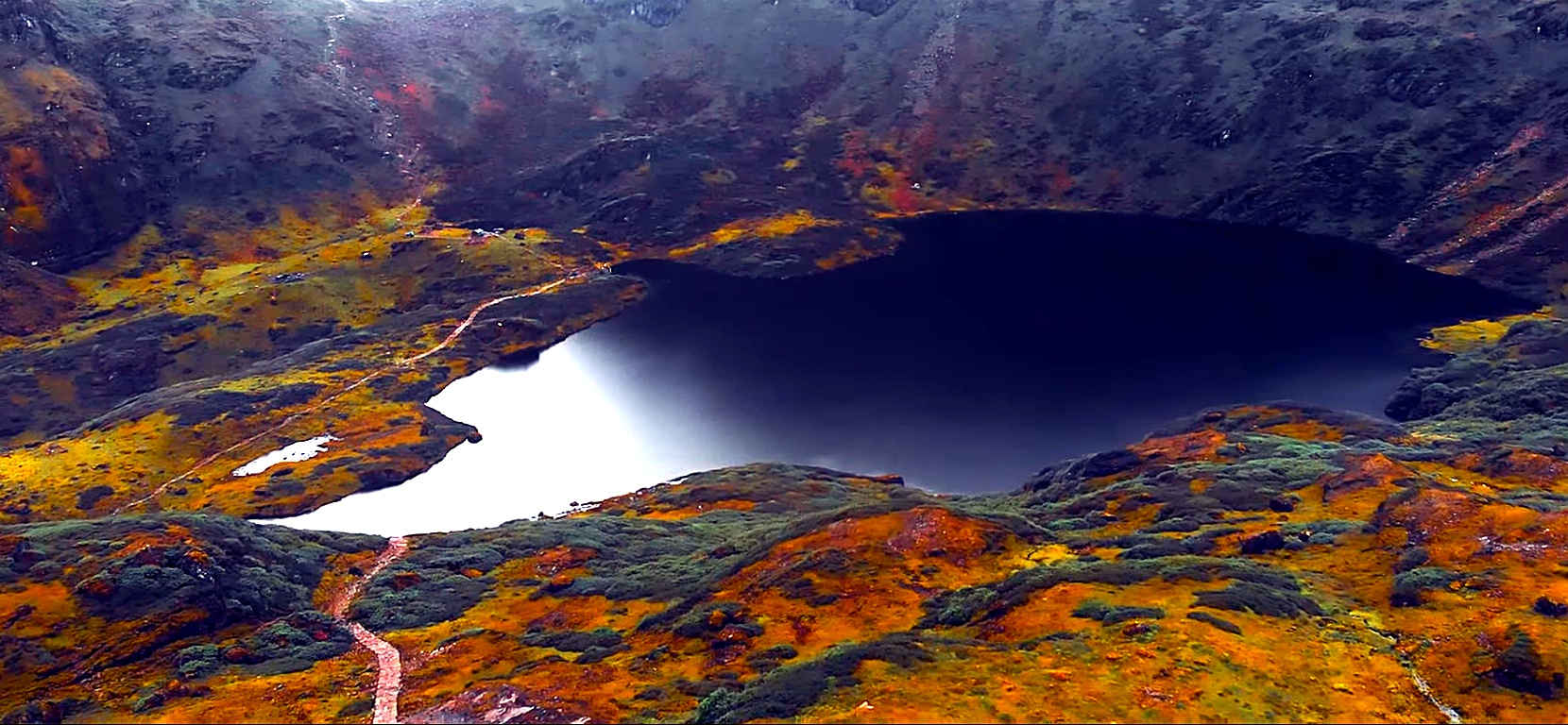
From Shipton La, you descend toward Kalo Pokhari, a dark mountain lake surrounded by prayer flags, before climbing again toward Keke La at around 4,170 m.
When the weather is clear, the high ridges offer views toward Makalu, Chamlang and the surrounding eastern Himalaya. After crossing the final pass, you descend through alpine terrain and forest to Dobate.
From Dobate, the trail descends steeply through rhododendron and fir forest toward the Barun River.
Some sections can be slippery or uneven, particularly when snow or rain has affected the trail. As you descend, the high ridges gradually disappear behind you and the route enters the impressive Barun Valley.
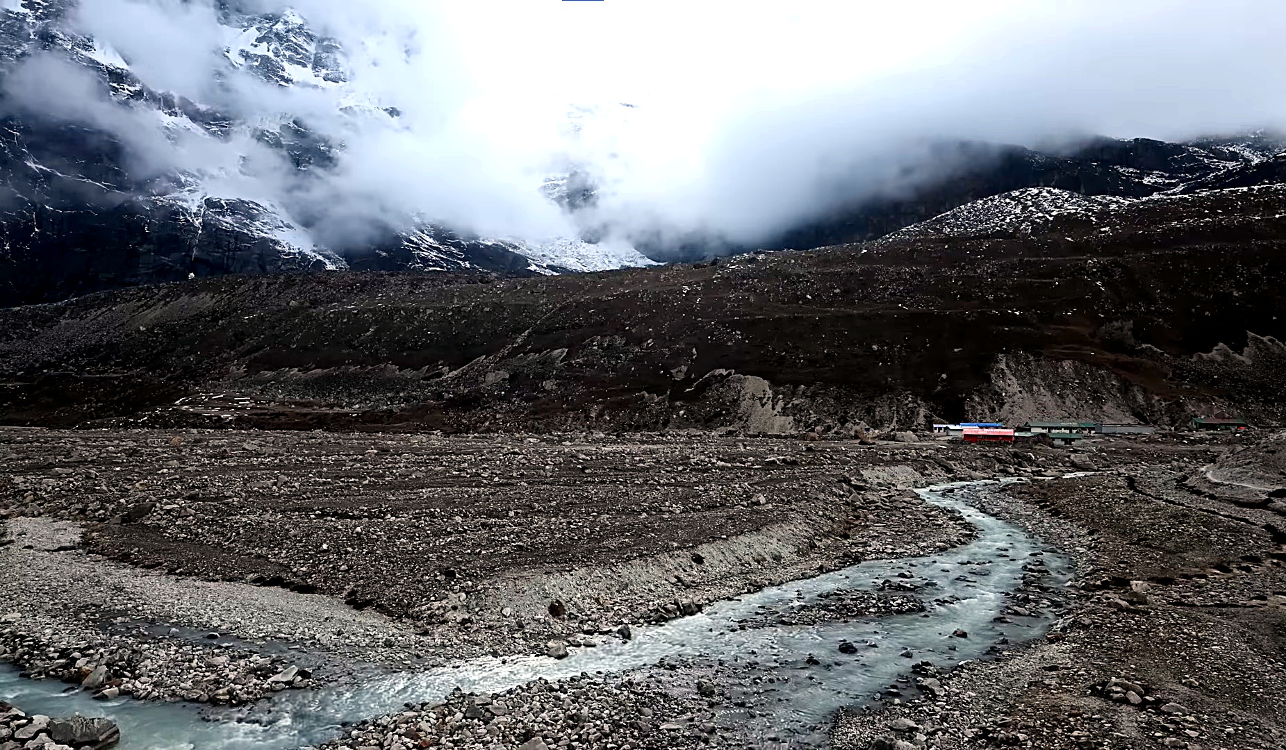
After reaching the river corridor, the walking becomes more gradual. Waterfalls, forested slopes and huge valley walls surround the route as you continue toward Yangle Kharka, a traditional grazing area beside the river.
The trail now moves deeper into the upper Barun Valley, gradually leaving the forest behind.
Following the river, you pass high grazing areas including Yak Kharka and Merek, while juniper shrubs and open alpine meadows replace the thicker vegetation of the lower valley.
As you climb toward Langmale Kharka, the scale of the surrounding mountains becomes much more dramatic. Rock walls, boulder fields and high Himalayan peaks dominate the scenery as you move above 4,000 m.
Because of the substantial altitude gain, a slow and steady pace is especially important today.
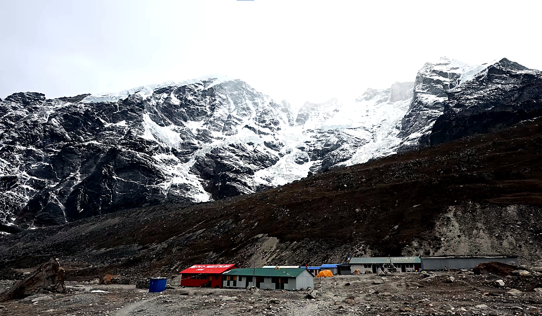
Today you reach the main destination of the journey, Makalu Base Camp at 4,870 m.
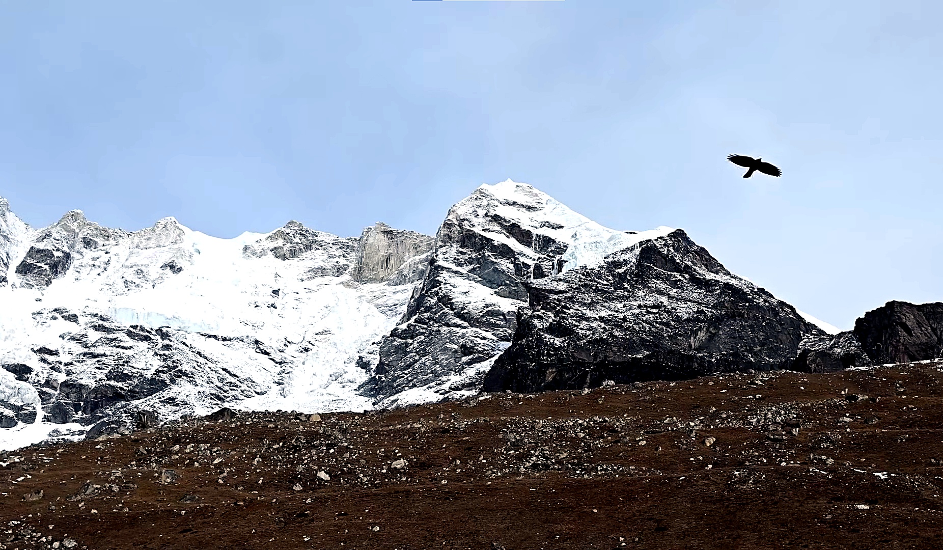
Leaving Langmale Kharka, the trail continues through increasingly barren alpine terrain toward Shershong. Vegetation becomes sparse as moraine, glaciers and rocky slopes take over the landscape.
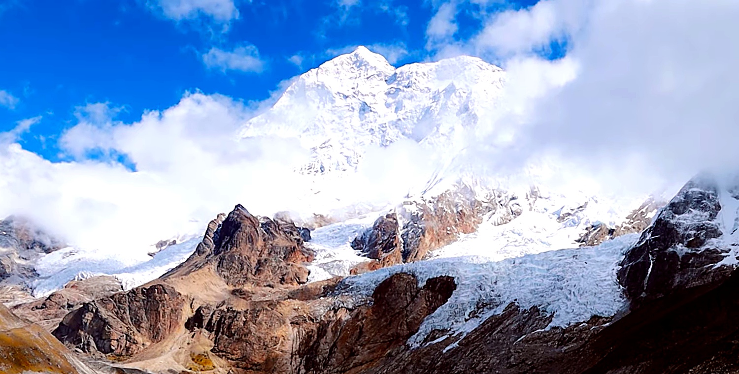
From Shershong, you continue gradually toward Base Camp beneath the enormous south face of Mount Makalu (8,485 m), the fifth-highest mountain in the world.
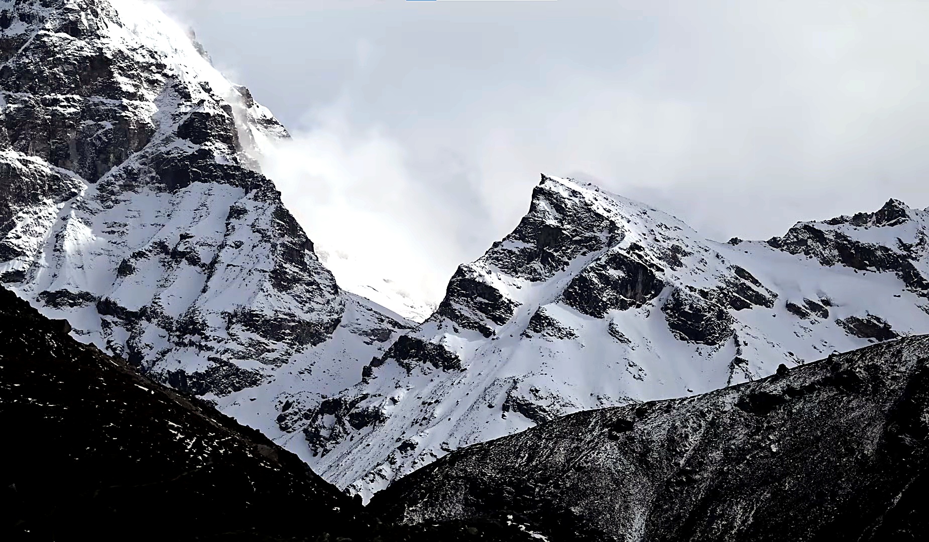
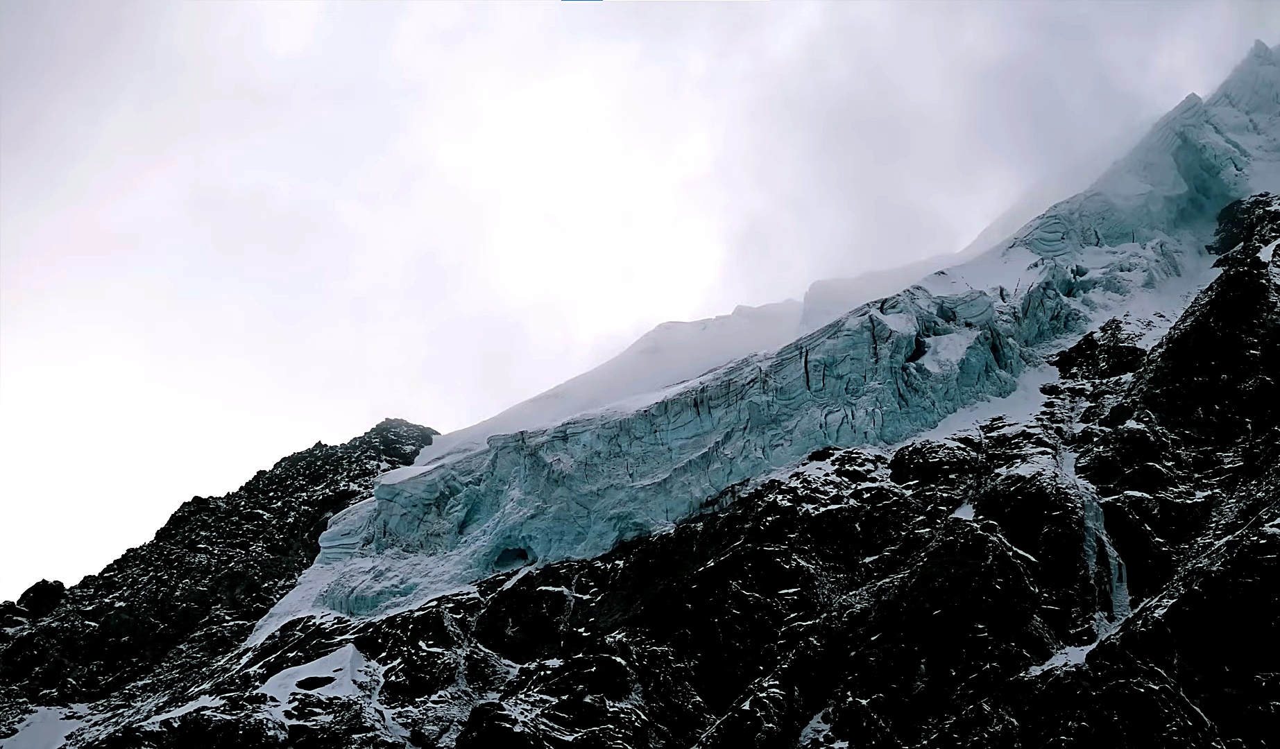
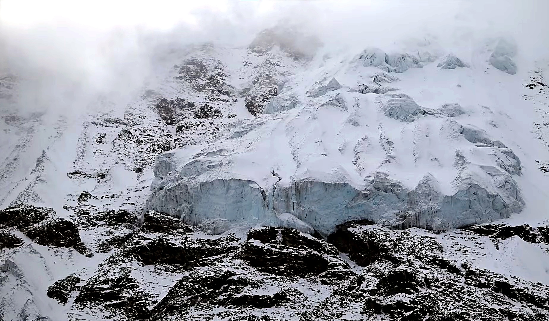
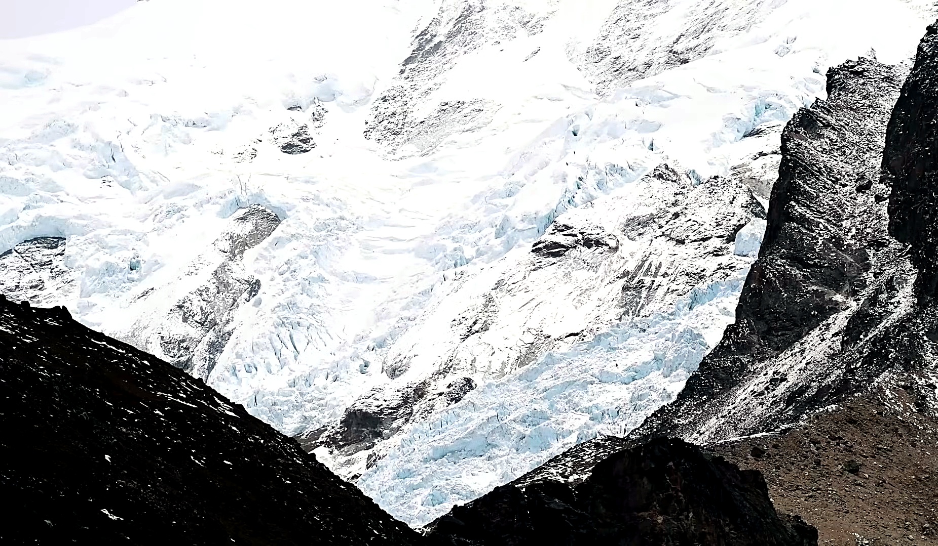
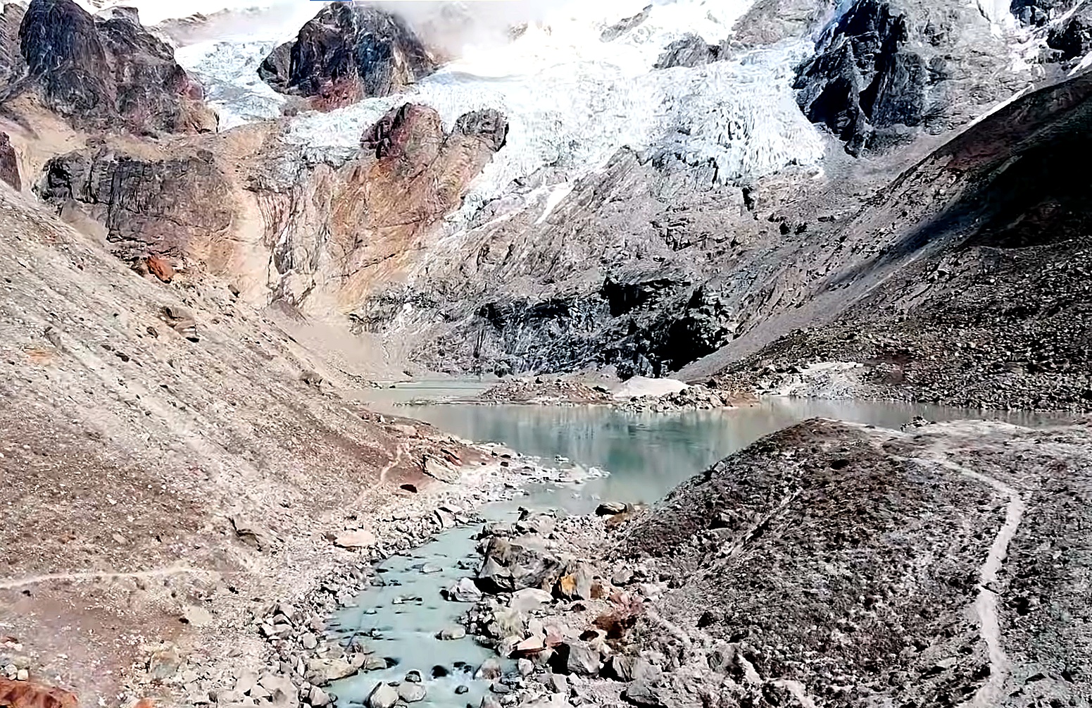
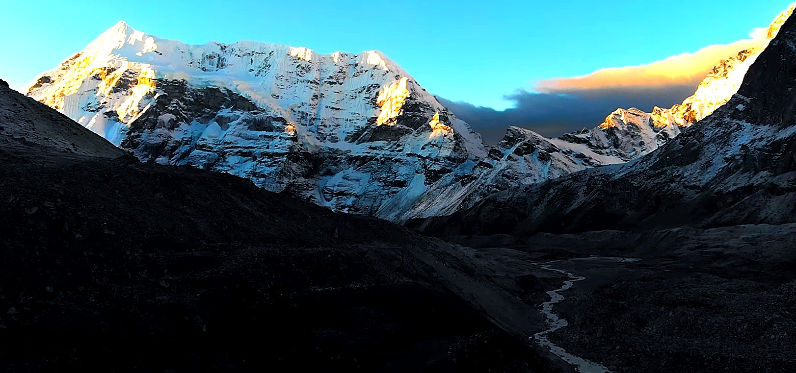
As you approach Base Camp, the upper Barun Valley opens into a remarkable high-mountain landscape of glaciers, ice-covered slopes and surrounding peaks including Baruntse, Chamlang and Peak 4.
Today is set aside for exploration around Makalu Base Camp and gives you time to experience the upper Barun Valley without carrying your full trekking load.
One option is to explore toward the Barun Glacier, where the scale of the surrounding ice, moraine and mountain walls becomes even clearer.
When weather, trail conditions and the group’s acclimatization allow, the guide may continue toward the ridge above Base Camp at around 5,250 m. From this higher viewpoint, clear conditions can reveal a rare perspective toward Everest, Lhotse and Lhotse Shar, along with the immense south face of Makalu.
The exact hiking objective is decided according to conditions on the day before returning to Base Camp for another night.
After your time at Base Camp, the return journey begins with a long descent through the Barun Valley.
You retrace the trail through Shershong, Langmale Kharka and Merek, gradually leaving the glacial landscape behind. As elevation drops, alpine grasses and juniper return before the route eventually enters greener terrain.
Although much of the day is downhill, the distance makes this a demanding stage. By late afternoon, you return to Yangle Kharka beside the Barun River.
The route leaves Yangle Kharka and follows the Barun River back toward the forested slopes below the high passes.
You cross wooden bridges and walk through rhododendron and fir woodland, with several climbs and descents along the way. Unlike the previous day’s overall descent, today’s route involves regaining some elevation.
Eventually, you climb back toward Dobate, where you spend the night before crossing the Shipton La section once again.
Today you retrace the most demanding high-pass section of the trek.
From Dobate, the trail climbs back toward Keke La, descends toward Kalo Pokhari and then continues across Shipton La, Sano Pokhari Danda and Khongma La.
The same high ridges experienced on the outward journey now provide a different perspective over the Makalu region. After crossing the final pass, you descend through Khongma Danda and return to increasingly dense rhododendron and bamboo forest.
The long descent eventually brings you back to Tashigaon, where cultivated fields and permanent village life return after several days in the wilderness.
After breakfast, you begin the long return toward Num, retracing the lower valley route.
The trail descends through farmland and forest toward Seduwa, then continues steeply down toward the Arun River.
After crossing the suspension bridge, one final uphill section waits on the opposite side. The climb back toward Num can feel demanding at the end of the day, but reaching the ridge marks the completion of the trekking section
The walking portion of the journey is now complete, and today you return to the lower Arun Valley by road.
The jeep journey descends from Num through forested hills, terraced farmland and rural settlements before passing through the Khandbari area and continuing toward Tumlingtar.
The road can be rough and winding in places, so travel time varies according to weather and road conditions. After reaching Tumlingtar, you check into your accommodation and prepare for the flight to Kathmandu.
Distance: Around 45 to 60 km by road
Drive Hours: 5 to 7 hrs
After breakfast, you take the morning flight from Tumlingtar back to Kathmandu, subject to weather and operating conditions.
The flight brings you from the low Arun Valley back toward the Kathmandu Valley, with Himalayan views possible when the weather is clear.
After landing, a Top Trail Nepal representative will transfer you to your hotel. The rest of the day is free to relax, enjoy a hot shower or explore Kathmandu after completing the Makalu Base Camp Trek.
Flight Time: Around 35 to 45 min
Your Makalu Base Camp Trek officially comes to an end today.
Depending on your international flight schedule, you may have some free time in Kathmandu before departure. A representative from Top Trail Nepal will transfer you to Tribhuvan International Airport for your onward journey.
After travelling from the Arun Valley through rhododendron forests, high passes and the wild Barun Valley to Makalu Base Camp, you leave Nepal after completing one of the country’s most remote high-altitude trekking journeys.
What's Included
Airport Transfers
|
Hotel Accommodation in Kathmandu
|
Domestic Transportation
|
Meals During the Trek
|
Accommodation During the Trek
|
Professional Trekking Team
|
All Required Trekking Permits
|
Camping & Group Equipment
|
Safety & Medical Support
|
Taxes & Service Charges
|
What's Not Included
International Travel & Visa
|
Travel Insurance
|
Personal Trekking Gear
|
Personal Expenses
|
Tips for Trekking Staff
|
Emergency Evacuation Costs
|
Any Other Costs
|
Departure Dates
Route Map & Gallery

Frequently Asked Questions - Makalu Base Camp Trek
Makalu Base Camp is located in eastern Nepal, inside the Makalu Barun National Park, at the base of Mount Makalu (8,485m) — the world’s fifth-highest mountain.
The Makalu Base Camp Trek is considered challenging. It involves remote trails, long walking days, high altitude, and limited facilities, making it suitable for experienced trekkers with good physical fitness.
The Top Trail Nepal Makalu Base Camp Trek is a 17-day journey, including arrival and departure days in Kathmandu, flights to and from Tumlingtar, road transfers and the full trekking route to Makalu Base Camp.
The main trekking seasons are spring from March to May and autumn from September to November. October–November and March–April generally offer especially good conditions, while snow, monsoon rain and trail conditions can make winter and summer more difficult.
Yes. The trek requires a Makalu-Barun National Park Entry Permit and agency-issued TIMS Card under the current trekking system. Top Trail Nepal arranges the required trekking documentation before departure.
Yes. Makalu Base Camp is at 4,870 m, and the optional exploration hike can reach around 5,250 m. A gradual pace, good hydration and reporting altitude symptoms to your guide immediately are important throughout the higher section.
Accommodation is mainly in basic teahouses and local mountain lodges. Facilities become much simpler in the upper Barun Valley, and camping arrangements may be used in remote sections when required by local availability or conditions.
Makalu Base Camp is not an ideal first high-altitude trek because of its remoteness, steep terrain and long walking days. Previous multi-day trekking experience is strongly recommended, together with good fitness and proper preparation.
Yes. A licensed trekking guide is required for the Makalu Base Camp route under Nepal’s current TIMS regulations. The guide also manages navigation, trail conditions, accommodation coordination and emergency support in this remote region.
Safe drinking water is available at lodges or by boiling/treating water. Charging, internet, and mobile network coverage are very limited or unavailable in most parts of the trek.
The trek provides close views of Mount Makalu, Chamlang, Baruntse, Peak 4 and other eastern Himalayan peaks. From higher viewpoints around Makalu Base Camp, clear conditions can also reveal distant views toward Everest and Lhotse.
Yes. The itinerary can be customized with additional acclimatization days, side trips, or combined routes depending on your fitness, schedule, and interests.
Useful Info
The Makalu Base Camp Trek travels through one of Nepal’s more remote mountain regions, where accommodation, transport and communication facilities are considerably simpler than on the major Everest and Annapurna routes. Good preparation is therefore especially important for this journey.
The information below covers the practical details to consider before joining the trek, including the best seasons, difficulty, altitude, accommodation, meals, permits, guides, transportation, water, communication, insurance and equipment.
Best Time for the Makalu Base Camp Trek
The most suitable periods for the Makalu Base Camp Trek are generally spring and autumn. These seasons normally offer better mountain visibility and more manageable conditions for crossing the high passes between Khongma Danda and Dobate.
Spring brings warmer conditions to the lower hills and flowering rhododendrons through the forest sections. Autumn normally becomes clearer after the monsoon, with crisp mountain views and relatively dry trails. Conditions at altitude can still change quickly in either season.
| Season | Typical Conditions | Suitability |
|---|---|---|
| March – May | Improving weather, spring vegetation and rhododendrons in bloom through the lower forests. | Very good |
| June – September | Monsoon rain, muddy trails, leeches, cloud and possible delays on the Tumlingtar–Num approach road. | Less suitable |
| October – November | Generally clearer skies, drier trails and excellent Himalayan visibility. | Very good |
| December – February | Very cold at altitude, with possible snow making the high passes considerably more difficult. | Condition dependent |
Difficulty and Fitness
The Makalu Base Camp Trek is a challenging high-altitude trek. It combines steep ascents and descents, long trekking days, remote trails and repeated crossings of mountain passes above 4,000 m.
The climb from Tashigaon to Khongma Danda is particularly demanding, while the Shipton La section involves several high ridges before descending toward Dobate. The same pass system must be crossed again on the return journey.
You should be comfortable walking for around 5 to 8 hours on most trekking days. Previous multi-day trekking experience is useful, and regular cardiovascular and leg-strength training before the trip will make the journey considerably more manageable.
Altitude and Acclimatization
The route begins in the lower Arun Valley and eventually reaches Makalu Base Camp at 4,870 m. On the exploration day, the planned hike may continue toward a higher viewpoint at around 5,250 m when conditions and acclimatization allow.
The gradual progression through Khongma Danda, the high passes, Yangle Kharka and Langmale Kharka gives your body time to adjust, but altitude should still be taken seriously throughout the upper section.
| Location | Altitude | Importance |
|---|---|---|
| Num | 1,560 m | Beginning of the main trekking section. |
| Khongma Danda | 3,500 m | First major high-altitude overnight stop. |
| Shipton La Area | Around 4,200 m | High-pass crossing between Khongma and Dobate. |
| Langmale Kharka | 4,410 m | Important overnight stop before Base Camp. |
| Makalu Base Camp | 4,870 m | Main destination and high-altitude overnight point. |
| Exploration Viewpoint | Up to 5,250 m | Optional higher hike when conditions allow. |
Persistent headache, dizziness, nausea, unusual weakness, loss of coordination or difficulty breathing should be reported to your guide immediately. Continuing higher is never more important than responding properly to altitude-related symptoms.
Meals During the Trek
Meals are taken at local teahouses and lodges along the trekking route. Choices are generally broader in the lower villages and become simpler as you travel deeper into the Barun Valley, where supplies have to be carried considerable distances.
Common meals include dal bhat, noodles, fried rice, soup, pasta, potatoes, eggs and Tibetan-style bread. Tea, coffee and hot lemon are also commonly available. Dal bhat remains a practical choice on long trekking days because it provides rice, lentils and vegetables in one filling meal.
Accommodation on the Trek
Accommodation along the Makalu route is considerably simpler than in Nepal’s busier trekking regions. Most nights are spent in locally operated teahouses and mountain lodges, usually in basic twin-sharing rooms.
Rooms generally provide a bed, mattress, blanket and pillow, while bathrooms are commonly shared. Facilities become increasingly limited around Dobate, Yangle Kharka, Langmale Kharka and Makalu Base Camp, so carrying a warm sleeping bag is strongly recommended.
| Area | Accommodation | Facilities |
|---|---|---|
| Lower Villages | Teahouse / Lodge | Simple rooms with relatively better facilities. |
| High Pass Area | Basic Teahouse | Limited rooms, shared facilities and fewer services. |
| Upper Barun Valley | Basic Lodge / Teahouse | Very simple mountain accommodation. |
Guides and Porters
Makalu Base Camp is a remote route with limited settlements and long stretches of mountain wilderness. A licensed trekking guide is required under Nepal’s current trekking regulations for this route.
Your trekking guide manages navigation, accommodation coordination, permits, weather information and trail decisions. Porter support reduces the amount of weight you need to carry, allowing you to concentrate on walking, pacing and acclimatization while carrying only a personal daypack.
Permits and Trekking Requirements
The trekking route enters Makalu Barun National Park and also falls under Nepal’s current guided trekking and TIMS system.
| Permit / Requirement | Current Information |
|---|---|
| Makalu Barun National Park | NPR 3,000 for foreign visitors and NPR 1,500 for SAARC visitors. |
| TIMS Card | NPR 2,000 for non-SAARC trekkers and NPR 1,000 for SAARC trekkers under current published rates. |
| Licensed Guide | Required for the Makalu Base Camp trekking route under the current TIMS system. |
Top Trail Nepal arranges the required trekking documentation before departure. Permit rules and government fees can change, so the applicable requirements are reconfirmed for each trip.
Transportation and Tumlingtar Flights
The journey begins with a domestic flight from Kathmandu to Tumlingtar, followed by a jeep transfer through Khandbari and the Arun Valley toward Num.
The Num road is mountainous, rough in places and vulnerable to weather or construction delays. After the trek, you return by road to Tumlingtar before flying back to Kathmandu. Domestic flight times can also change because of weather and operational conditions.
Drinking Water
Water can be obtained from teahouses and local sources along the route, but untreated river or stream water should not be consumed directly. Carry a reusable bottle or hydration system and use boiled water, purification tablets, purification drops or a reliable filter when required.
Electricity, Charging and Communication
Mobile coverage, internet access and electricity become increasingly unreliable as you move away from the lower settlements. Charging may be available at some teahouses, often for an additional fee, but it should not be expected everywhere.
Carry a power bank and spare batteries for important electronics. The upper Barun Valley should be treated as a remote trekking environment where communication may be unavailable for extended periods.
Travel Insurance and Emergency Evacuation
Comprehensive travel insurance is strongly recommended for the Makalu Base Camp Trek. Your policy should specifically cover high-altitude trekking above 5,000 m, medical treatment and emergency helicopter evacuation.
Helicopter rescue, medical treatment and evacuation expenses are not normally included in the trekking package. Your trekking team can assist with emergency coordination, while the financial cost remains the responsibility of the traveler or insurance provider.
Weather and Trail Conditions
Weather can change quickly around the high passes and upper Barun Valley. Snow, strong wind, heavy rain or poor visibility can affect walking times and make sections of the route more demanding.
The Day 10 hike toward the 5,250 m viewpoint is therefore flexible. Your guide may shorten, modify or cancel the higher excursion if weather, trail conditions or the group’s acclimatization make continuing unsafe.
What to Pack for Makalu Base Camp
| Category | Recommended Items |
|---|---|
| Clothing | Trekking shirts, thermal layers, fleece, insulated jacket, trekking trousers and waterproof outer layers. |
| Footwear | Well broken-in trekking boots, warm trekking socks and lightweight footwear for evenings. |
| Cold Weather Gear | Warm gloves, thermal hat, neck covering and suitable high-altitude layers. |
| Sleeping Gear | Warm sleeping bag suitable for cold nights at high elevation. |
| Trekking Accessories | Trekking poles, headlamp, sunglasses, sunscreen, water bottles, rain cover and power bank. |
| Personal Items | Personal medication, toiletries, quick-drying towel, valuables and basic first-aid items. |
| Documents | Passport, insurance details, emergency contacts and required travel documents. |
Wildlife and Responsible Trekking
Makalu Barun National Park protects an unusually wide range of landscapes, from subtropical forest to alpine and glacial terrain. Wildlife recorded within the protected area includes red panda, snow leopard, Himalayan black bear, clouded leopard, Himalayan tahr and serow, along with hundreds of bird species.
Wildlife sightings are never guaranteed. Trekkers should remain on established trails, avoid disturbing animals, reduce single-use plastic, carry rubbish until it can be disposed of properly and respect local villages and cultural traditions throughout the journey.
Important: Walking times, domestic flights, road conditions, accommodation, weather and high-pass conditions can change with little notice in the Makalu region. Top Trail Nepal may adjust the daily plan when necessary for safety, acclimatization or operational reasons. Current permit requirements and government fees are also reconfirmed before departure.
Book Makalu Base Camp Trek with Confidence
Join Top Trail Nepal, your trusted local trekking agency in Kathmandu, for the journey of a lifetime. Our experienced guides, strong safety record, and personal service make your Everest dream come true.

- $2790 2 people
- $2585 4-6 people